What a great day for a ride.
I was up late last night working on the commuter upgrading the brakes from BB5s to BB7s. Spent about 8 hours in total trying to get them to mount up right and adjusted without rubbing or, in the worst case, not spinning at all. At 1am I was finally satisfied enough to call it good and went to bed. Still have to take it out for a test ride and bed in so I may have another 8 hours of work ahead of me if they aren’t good enough.
Back to today, I let myself sleep in and woke up naturally at 7:00. Decided to get some breakfast in me, get dressed, and hit the road. Was so nice to get on the road bike and take it for a spin. Did my normal start up through Madeira Canyon. Went careening down Democracy and made my way over to Las Vegas Blvd. Nice to see that they have Via Inspirada open to all traffic again. Along the way I caught up to a couple gents and we visited along LVB before parting ways at St Rose. I went left into Southern Highlands while they continued down LVB to Sunset.
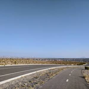
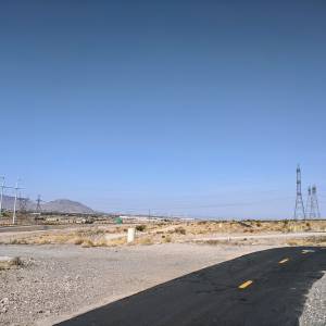
From there on out I was solo. Made it back to St Rose and decided to hang a left and work my way over to the 215 trail knowing that I was going to head out to Railroad Pass.
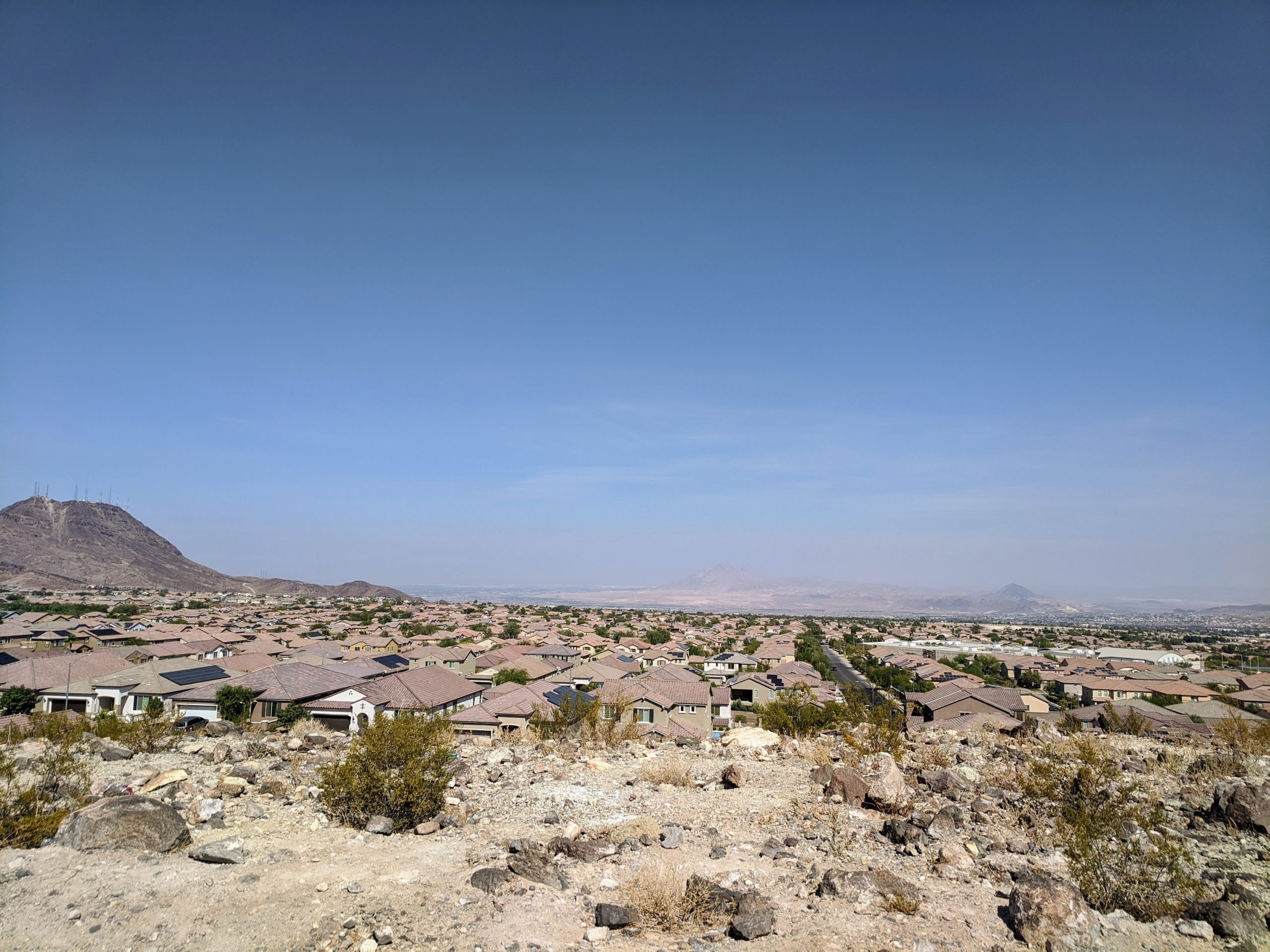
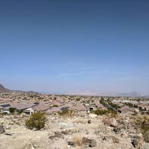
Along the way back from Railroad Pass I decided to take a different route than I did last time I was in this neighborhood. Then I think I found quite possibly the worst climb in the valley. It has a segment named “Full Tank Grind” and near the south/east end of Horizon Ridge Pkwy. I rolled up to this from the east and I swear it looking like a wall. There were points during the climb I was worried I was going to pull a wheelie and go over backwards. I made it maybe 3/4 of the way up before I had to stop. Legs and heart wouldn’t let me keep going. I caught my breath then realized I couldn’t get clipped in and restarted. So nice walk of shame up to the top. Got a nice pic though (See highlight)! (Here’s a link to a Google Map of this point: https://goo.gl/maps/AgnyEwaDo84bqHCp9)
From there it was pretty much all downhill for Horizon Ridge Pkwy which was nice, and then just worked my way along Horizon Ridge before getting back into Anthem and home.
Clear, 72°F, Feels like 72°F, Humidity 14%, Wind 3mph from W – by Klimat.app
Give your activities the names they deserve. – by Bandok.com
Max elevation: 3180 ft
Min elevation: 1991 ft
Total climbing: 4040 ft
Total descent: -4015 ft
Total time: 04:30:20
Be First to Comment