Could have slept a little better considering it was a hotel room, but I’ll take what I can get. Woke up a couple times throughout the night. Finally put the feet to the floor at 5:45. Put everything together pretty quick and checked out around 6:30.
After checking out I made the short trip across the street to get breakfast. Last time I had breakfast in Dana Point I went to RJ’s Cafe. This morning I went to The Brig Restaurant instead. One nice fact about going today is they opened up a half hour earlier, at 6:30, than they do during the week. By now I’m sure you already know what I had for breakfast, a french toast combo. It was pretty good. I’m glad I went to a different place instead of just going to RJ’s for a second time.
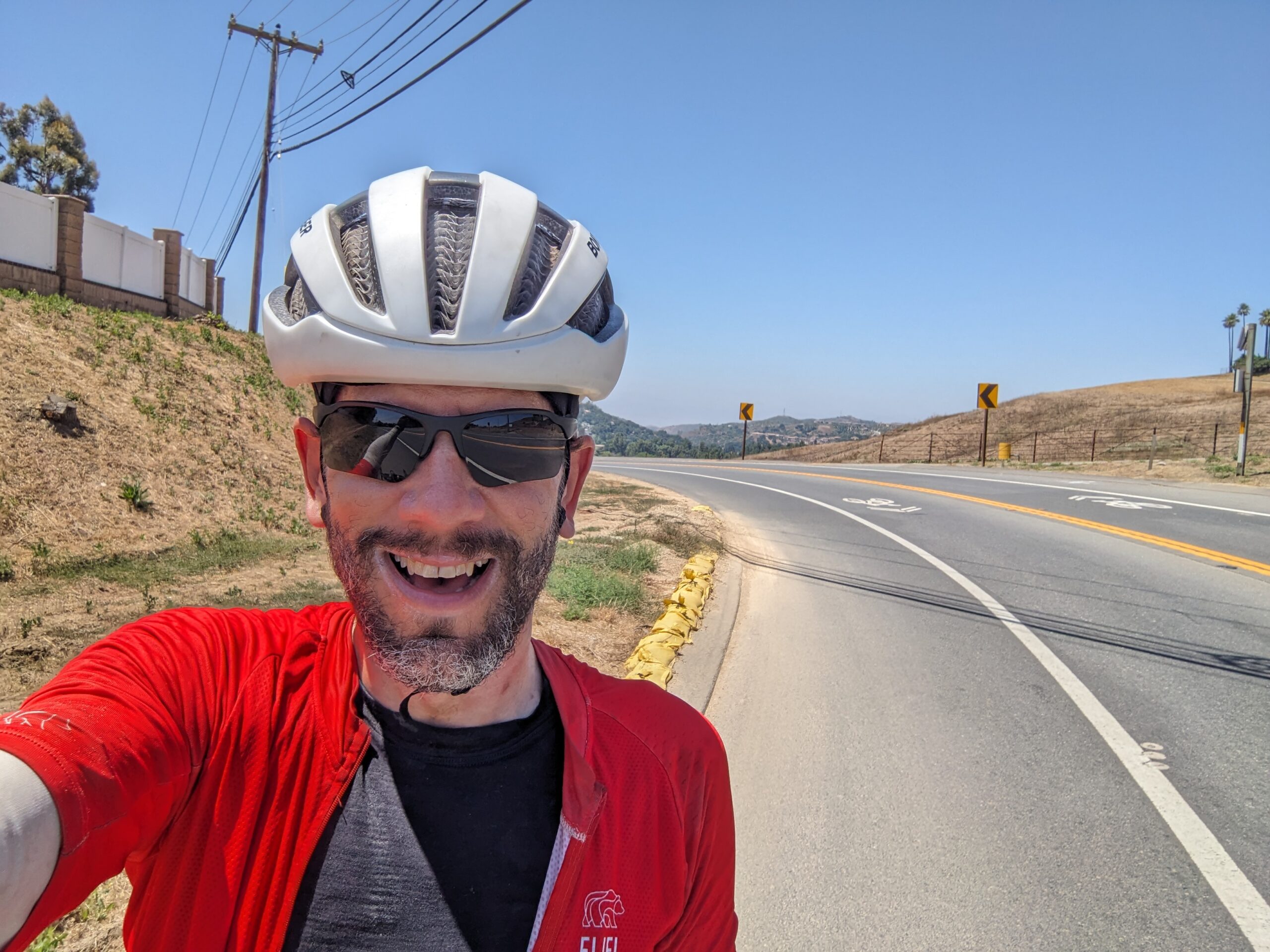
With breakfast done it was time to go to grandma’s house. Today’s route would be different from the others up to this point. This route wasn’t drawn up by the ACA. I made the route myself. I’ve never ridden in this area so I made the route half blind. I did make use of both Garmin’s and Strava’s heat map features to find popular roads. I figured if they’re popular it’s because they’re safe.
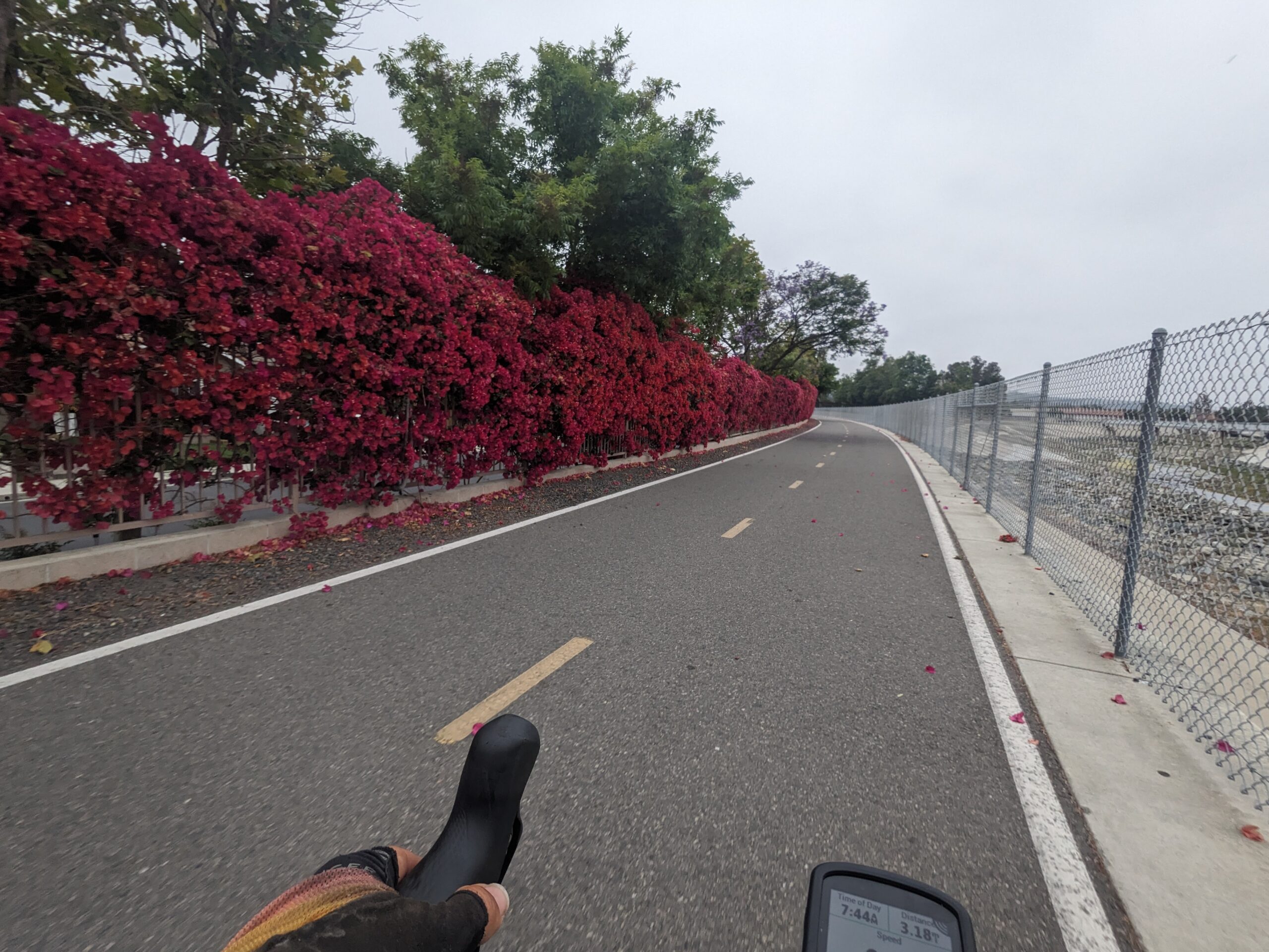
I started the ride with a trip up the San Juan Creek Trail. It’s a pretty nice trail very similar to the San Gabriel River and LA River trails. Honestly, I think the surface was actually better than the other two. While I was riding I spotted a father dancing with his daughter at one of the dog parks that butted up against the trail. It was adorable.
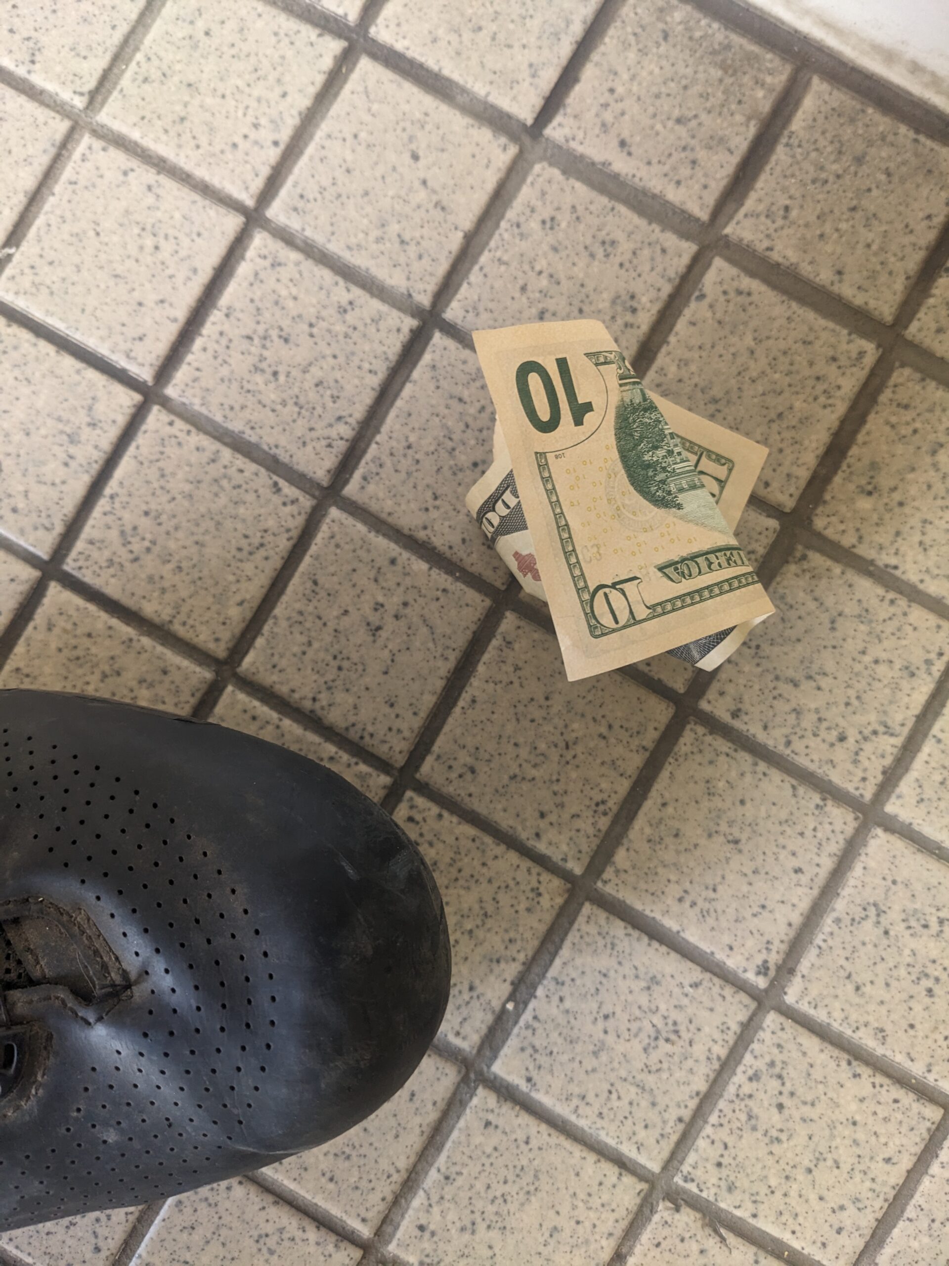
After a while the three cups of coffee I had at breakfast started calling. I finally found the nice park named El Modena Park in Orange. As I pulled up to the restroom, a city employee was leaving and asked if I was getting a ride in before the worst of the heat. I said I was and walked inside. As I rounded the corner my jaw nearly hit the floor as I spotted a ten dollar bill sitting there. I couldn’t believe my eyes.
I did my business and then rode out and saw the employee sitting in his truck on his phone. I rolled up and stopped and he opened his window. I asked, “Sorry to bother but were you just in the men’s?”
“Yeah”
“Did you drop anything? Are you missing anything?”
“No. Got my pen. Pretty sure I’ve got everything.”
“You didn’t drop any cash?”
“Uhh no. I’ve been using my credit card since my debit card was compromised and used in New Jersey.”
“Well I found a ten on the floor and thought it was yours.”
“Nope not mine. Looks like someone bought you breakfast.”
Can’t believe the luck!
I made a stop in Brea to grab some gas station snacks before the climb up over the Chino Hills. In hindsight I should have found a place to sit, relax, and take a proper break instead of standing around horking down my food. I also took the opportunity to check in with the family to let them know where I was.
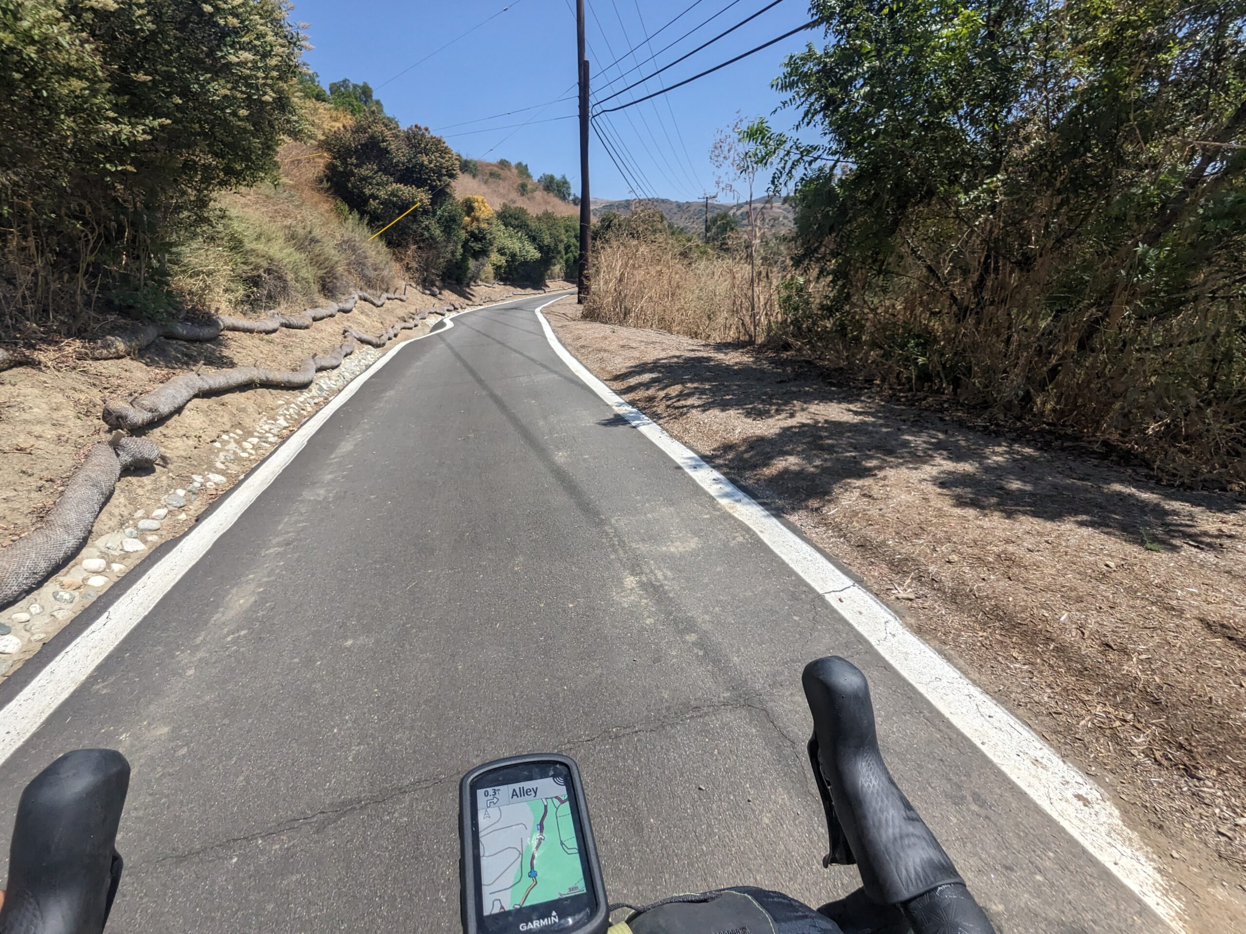
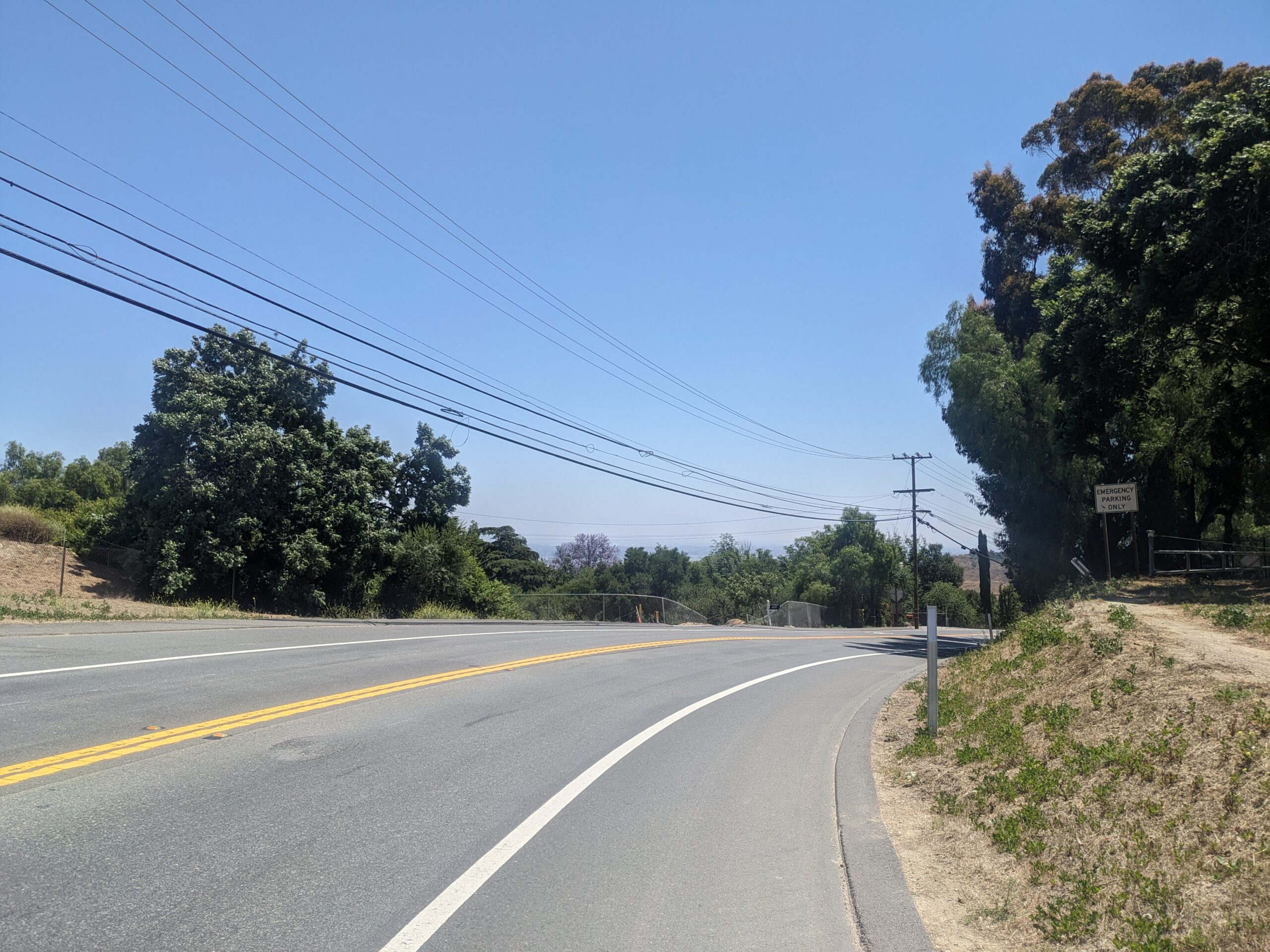
Not too long after my snack break I came to Carbon Canyon Dam. My route indicated a trail which would serve as a minor shortcut to take me to CA-142. As I rode up I saw a huge gate. It had an opening large enough for a person walking and a bike, but I wasn’t certain about being permitted to enter. Just beyond the gate there was a sign that made it clear I was good to go. The weird thing was the bottom of the opening had a 6 inch tall plate. This prevented me from simply riding through so I carefully picked Shadow up and got him over the threshold.
This put me onto a really nice albeit short path. Actually, the start right after the gate was awful, but, after a monster climb, the descent was beautiful brand new asphalt. The trail led me over to the Carbon Canyon Regional Park which I rode through until exiting onto CA-142.
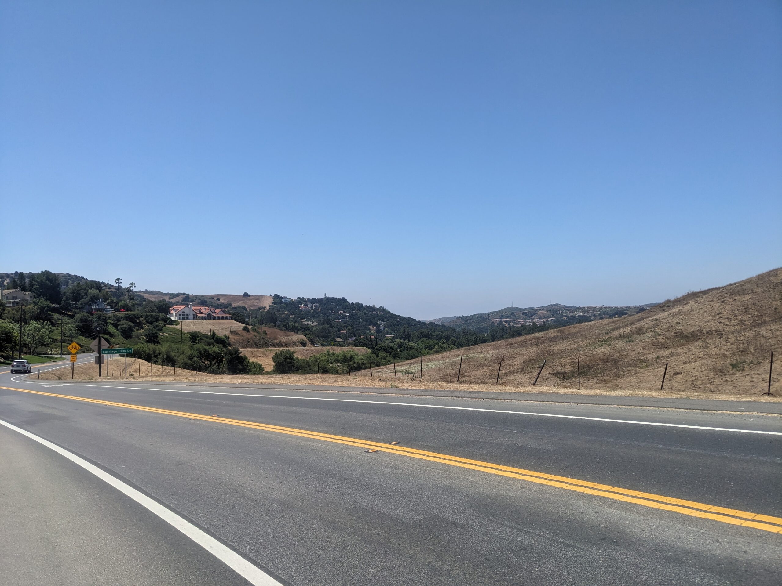
CA-142 was a decent two lane highway that made its way up and over into Chino Hills. Looking at the elevation profile I was expecting a rough time, but I tackled it like any other climb on this trip. Just took it slow and steady all the way to the top. Once I got there I stopped to snap a couple pictures. Not sure how clearly the communities in the distance show up, but it was a great view.
The descent down was awesome. I don’t remember there being a single car behind me the entire time. Was a great way to cooled off and recharged for the final push to Rancho Cucamonga.
Unfortunately, the descent wasn’t quite enough of a recharge. I was ok on the roads taking me east, but once I turned north I would slowly but surely start tiring out. Simply put all the miles over the past few days were taking their toll. The stretch along Euclid was the worst despite catching a cool reflection video.
I was ecstatic when I was told to turn onto the Pacific Electric Trail. This is one of the trails I use when riding to the beach from my in-laws’ house. I turned and immediately felt better. The trail was less steep and maybe I had a tail wind as well? Regardless I was thrilled to be back on familiar ground.
It wasn’t much later when I rounded the corner to climb to my in-laws’ place. I was thrilled to see smiling familiar faces waiting for me at the open garage.
That pretty much wraps up the day. It was a long hard one and I’m looking forward to good night’s rest and rest day tomorrow.
New bike fund: $21.51 (+$10.00)
63.03 new miles — From Wandrer.earth
Mostly sunny-Sunny, 63°F-79°F, Feels like 66°F-90°F, Humidity 86%-47%, Wind ESE 2mph-WSW 5mph – by Klimat.app
— myWindsock Report —
Weather Impact: -0.9%
Headwind: 53% @ 1.4-5.8mph
Longest Headwind: 01h 47m 41s
Air Speed: 12.4mph
Temp: 63.1-82°F
Precip: 0% @ 0 Inch/hr
— END —


Max elevation: 1455 ft
Min elevation: 18 ft
Total climbing: 3663 ft
Total descent: -2230 ft
Total time: 06:08:56
Be First to Comment