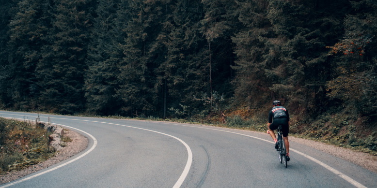
Great way to end a day of traveling to Buellton for tomorrow’s double century. Kant, Caleb, and I set out to spin out the legs a little and make sure the bikes were all ready to go. Before we left I tried to have Garmin generate a quick route for us, but it refused to give us anything that didn’t involve some climbing. We opted to just go out the door and see where the winds would take us. We ultimately ended up on some random country road that I’d find out later would have ultimately led us to Lompoc if we’d stuck with it.
There was a stiff wind out of the west which was certainly manageable although not ideal. Kant and I made the mistake of attempting to keep up with Caleb on his TT bike. We did ok for a short stretch, but then the power numbers would continue to rise and a nice easy ride would start to turn into a workout. Stopping to allow Caleb to make an adjustment to his saddle height, we decided it was as good a place as any to start back for the hotel.
Our nice little country road spin was an excellent way to cap off the day. Looking forward to tomorrow’s ride.
New bike fund: $92.03 (+$0.00), €1.52 (+€0.00), ₱10.00 (+₱0.00), ֏10.00 (+֏0.00)
🎷🐛 6.96 new miles — From Wandrer.earth
57 total shifts, 4 front, 53 rear. 96.5% of the ride in the big ring, 3.5% in the small ring. Most time spent in 52×21, 27.3% — by di2stats.com
23 vehicles @ 1.9 per mile, 0.5 per minute, Speeds: 25.7 mph (avg), 50.0 mph (max) — by MyBikeTraffic.com
Mostly cloudy-Mostly cloudy, 60°F-60°F, Feels like 57°F-57°F, Humidity 65%-65%, Wind NW 12mph-NW 12mph — by Klimat.app
— myWindsock.com Report —
Weather Impact™: 7%
Headwind: 52% @ 17 – 26.4 mph
Longest Headwind: 10m 45s
Air Speed: 16.9 mph
Temp: 57.7-57.8 °F
Precip: 0% @ 0 Inch/hr
— END —
Max elevation: 467 ft
Min elevation: 381 ft
Total climbing: 483 ft
Total descent: -450 ft
Total time: 00:46:05
Be First to Comment