I didn’t sleep incredibly well last night. Woke up at 2:30 for some unknown reason. Then again at 3:30 after a weird dream involving Robert Somano, Caleb Sprayberry, and I having a heated discussion about something related to our performance in an ultra event. Then woke up again at 4:30 just drenched with sweat because I was all bundled up in my quilt. Thankfully I actually fell back asleep after that last one. Wouldn’t be unheard of of me to just get up at that point.
I finally woke up for good around 6:30. I ate a quick freeze dried breakfast and got started breaking camp. I finished and was on the road at exactly 8:00 which is good for me.
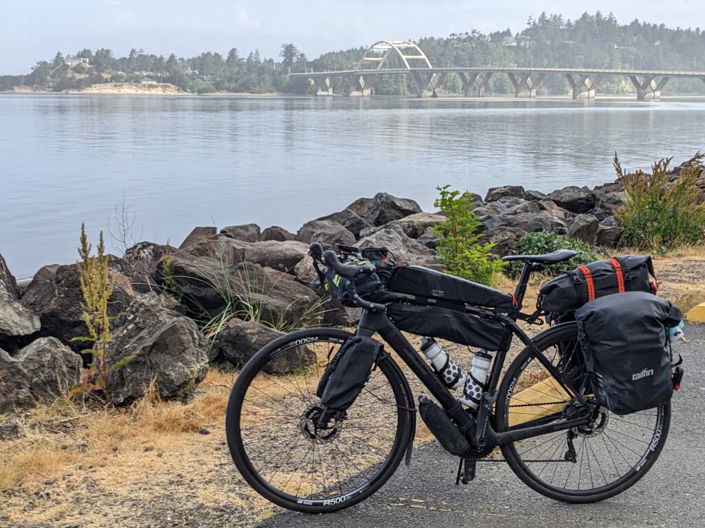
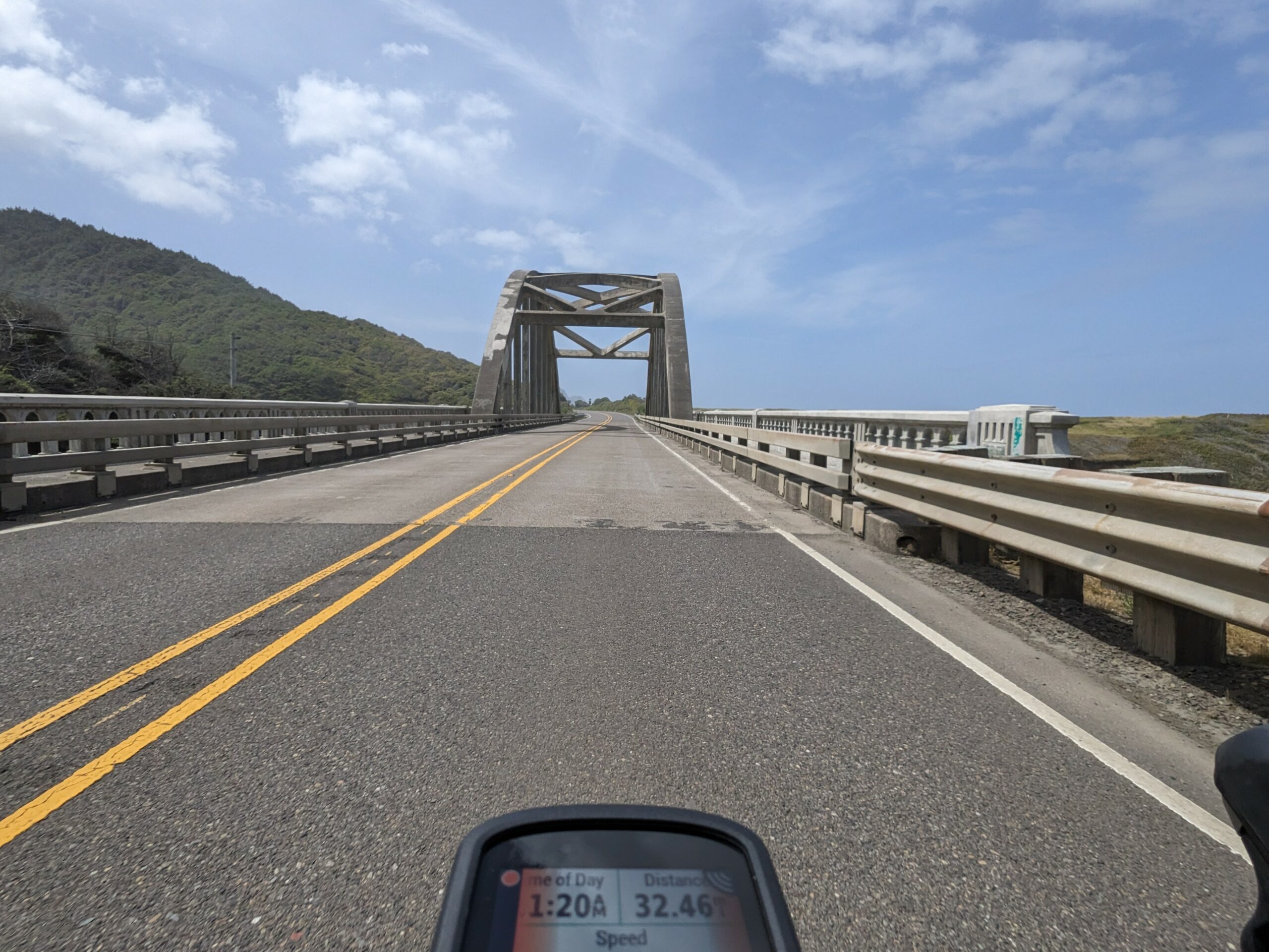
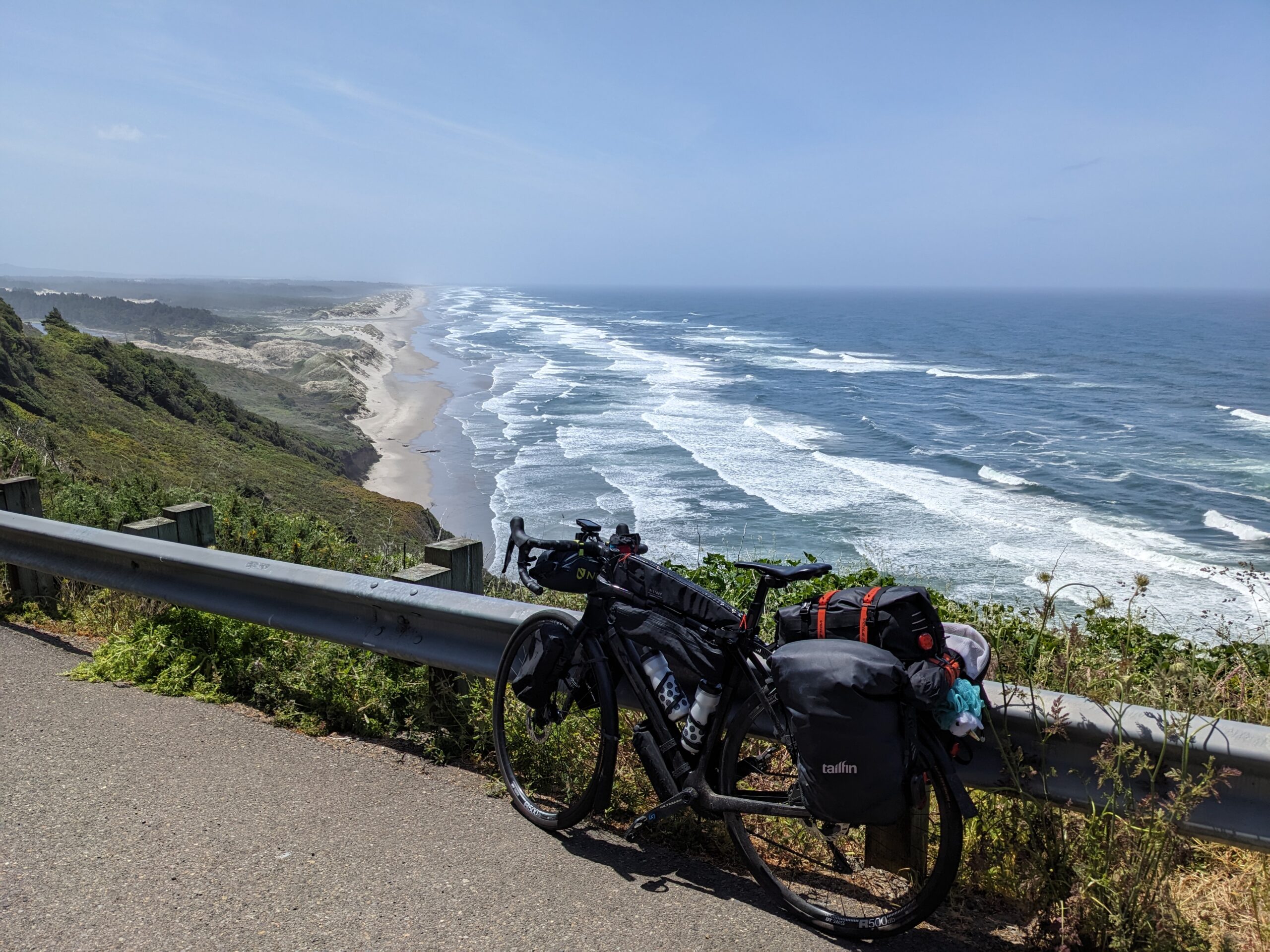
Once I got out to US-101, I checked the map on the Garmin to see how long until my next turn. This has been a habit of mine on this trip. I like knowing about how long until the next turn in the hopes of not missing it. Anyway, when I clicked it over it said 60 miles! “Great” I thought, “60 miles of crappy highway riding on US-101. Will be apologizing to everyone for the lack of pictures due to not feeling comfortable stopping on such a busy stretch of road.”. I couldn’t have been more mistaken.
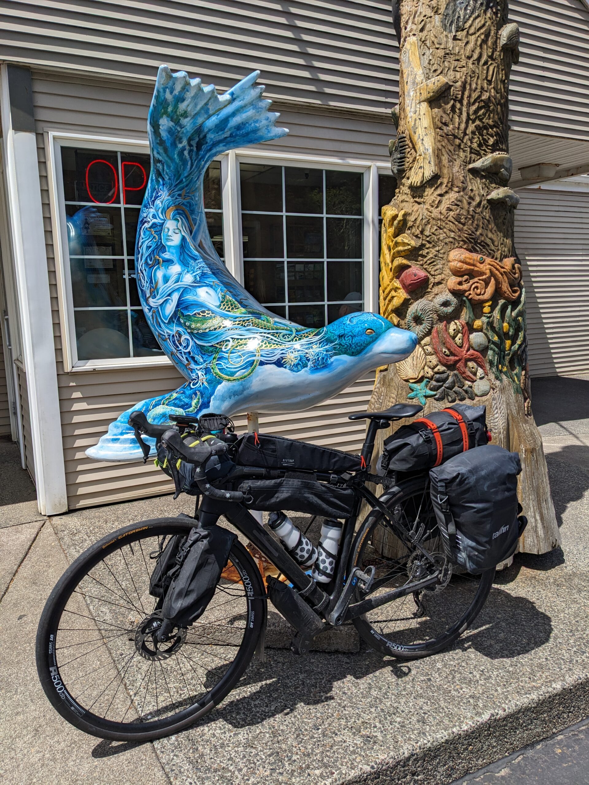
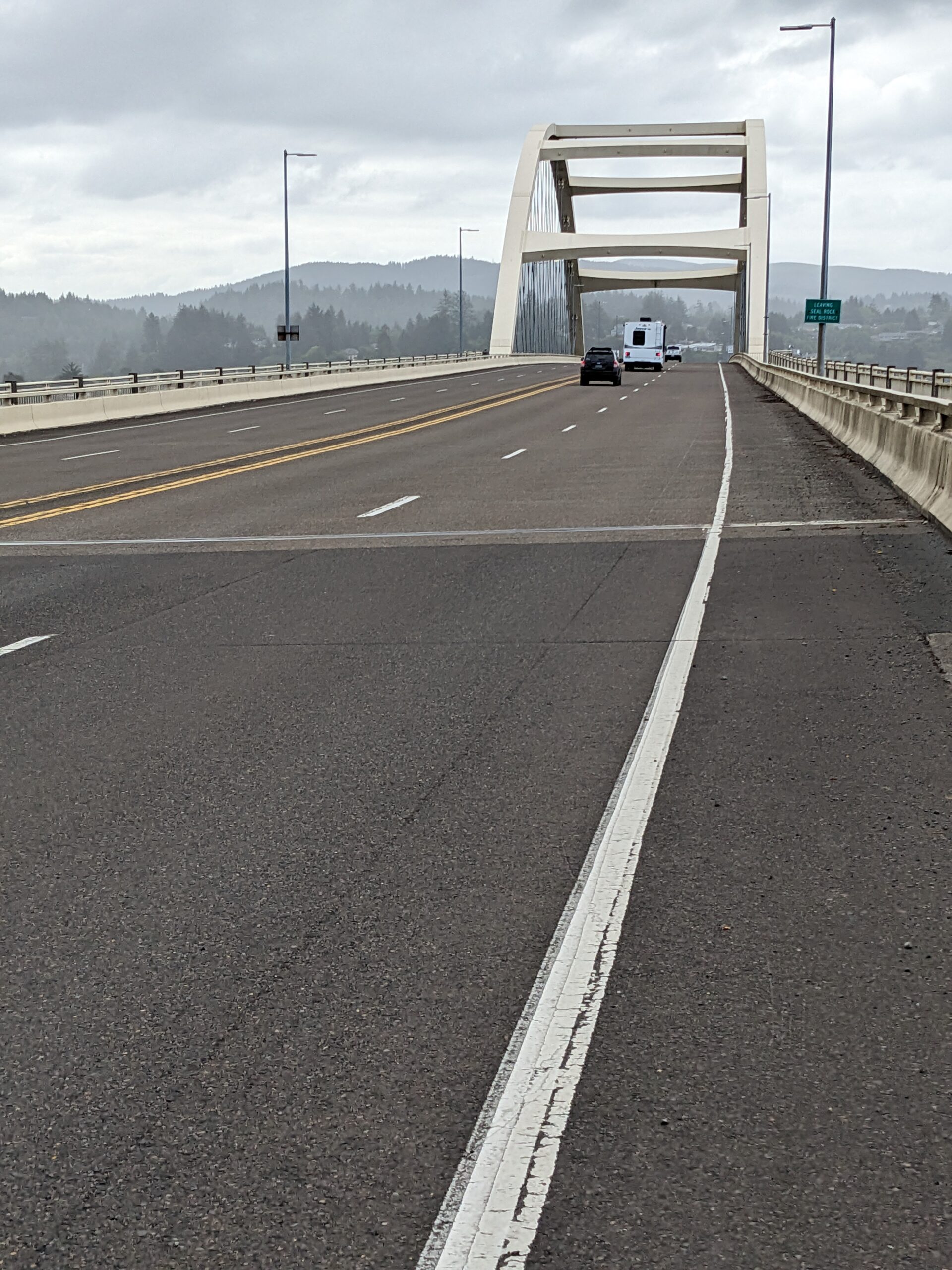
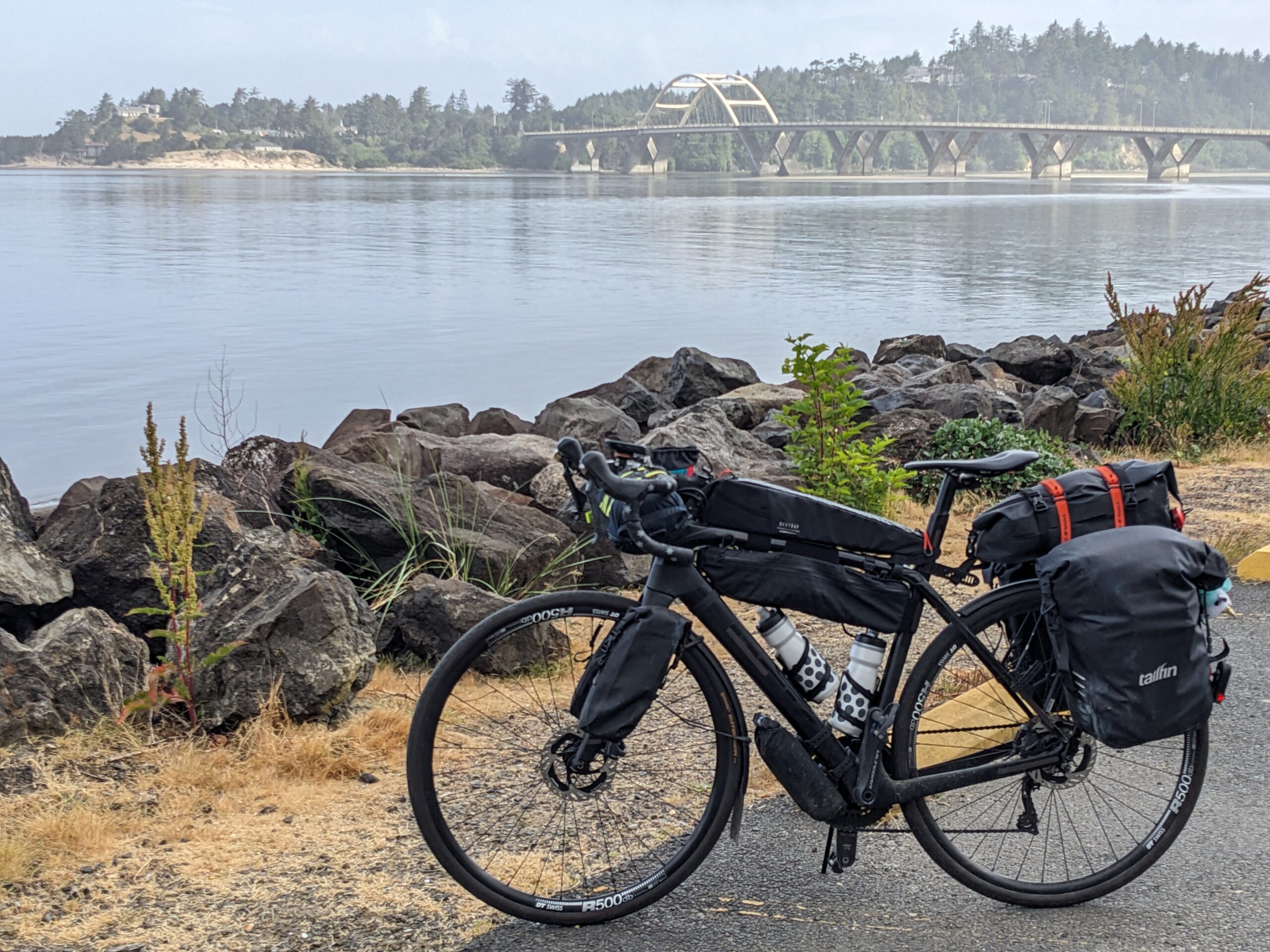
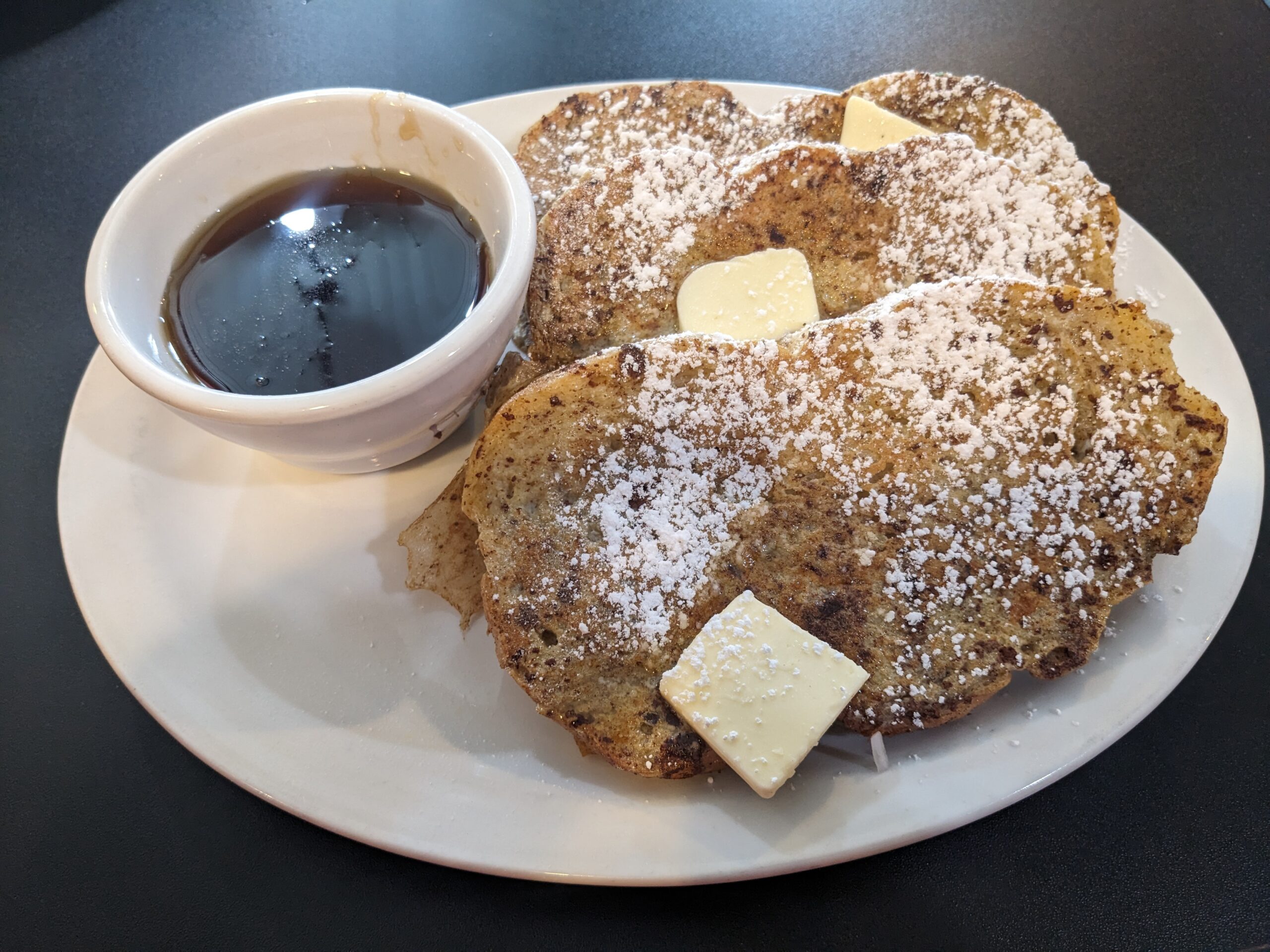
I logged about 15 miles when I stopped on the far side of the Alsea Bay Bridge for coffee and French toast at this little shop named Hilltop Cafe-Bistro. A little pick me up to keep me going until what I’d hoped would be a later lunch.
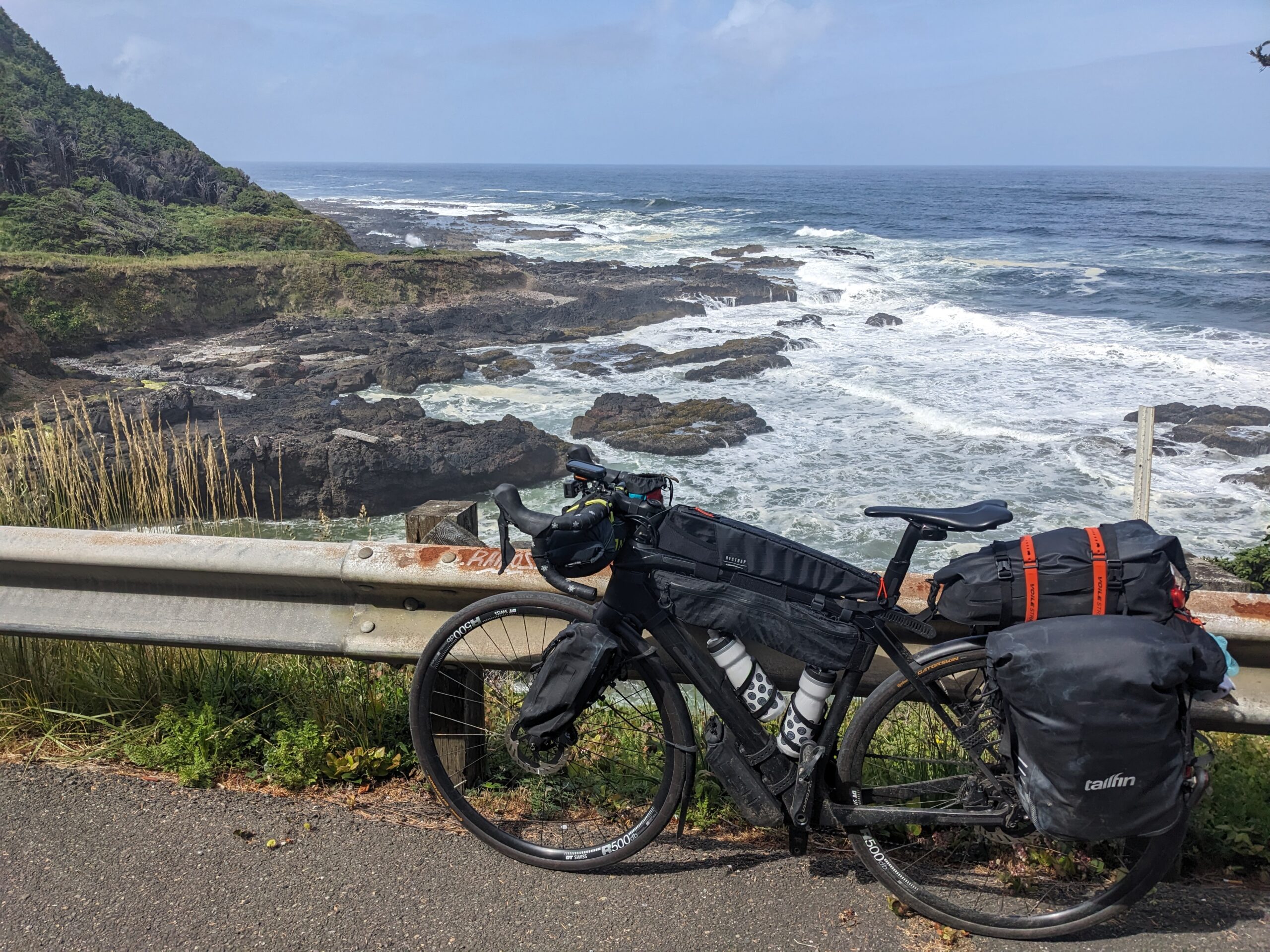
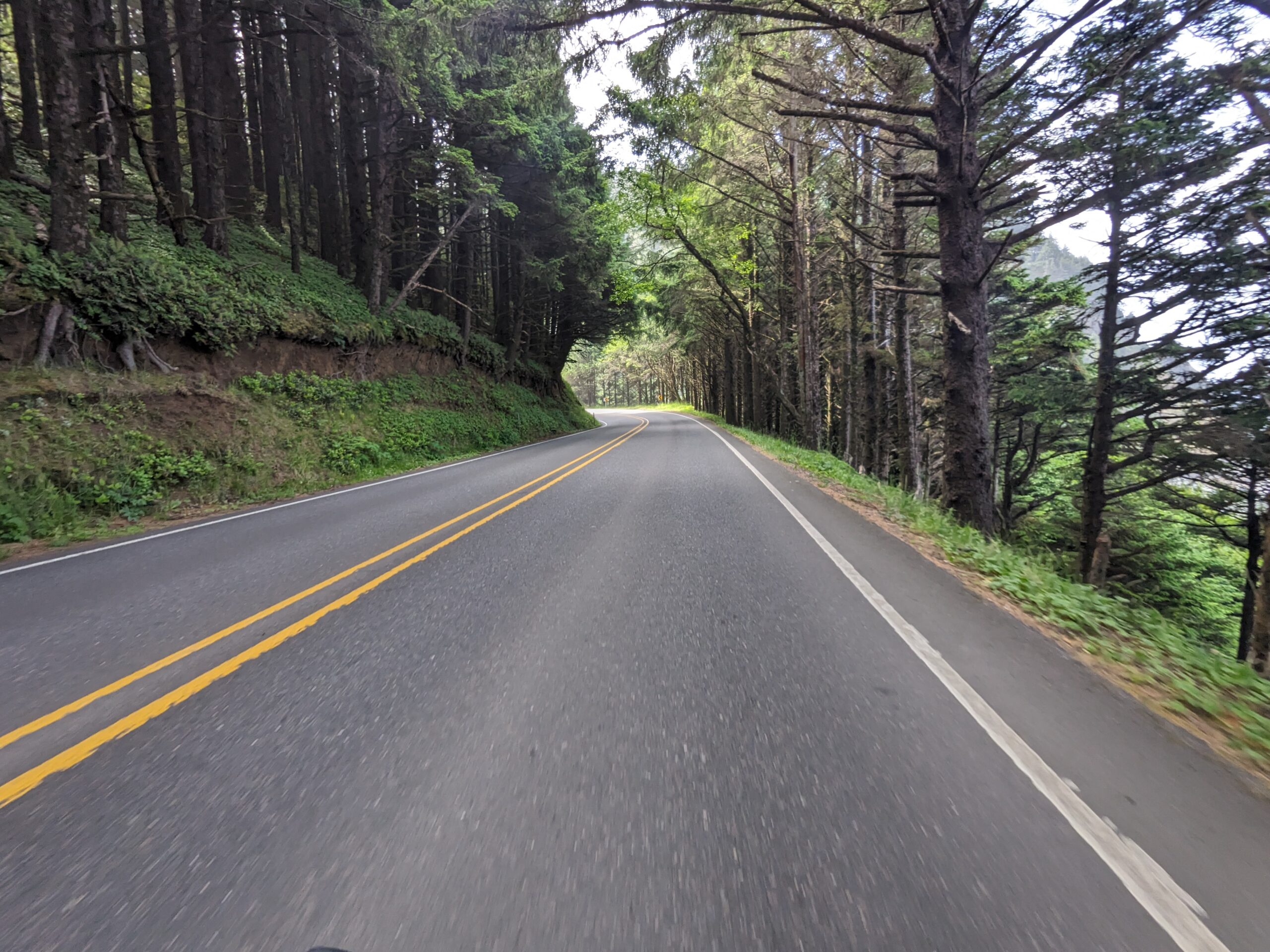
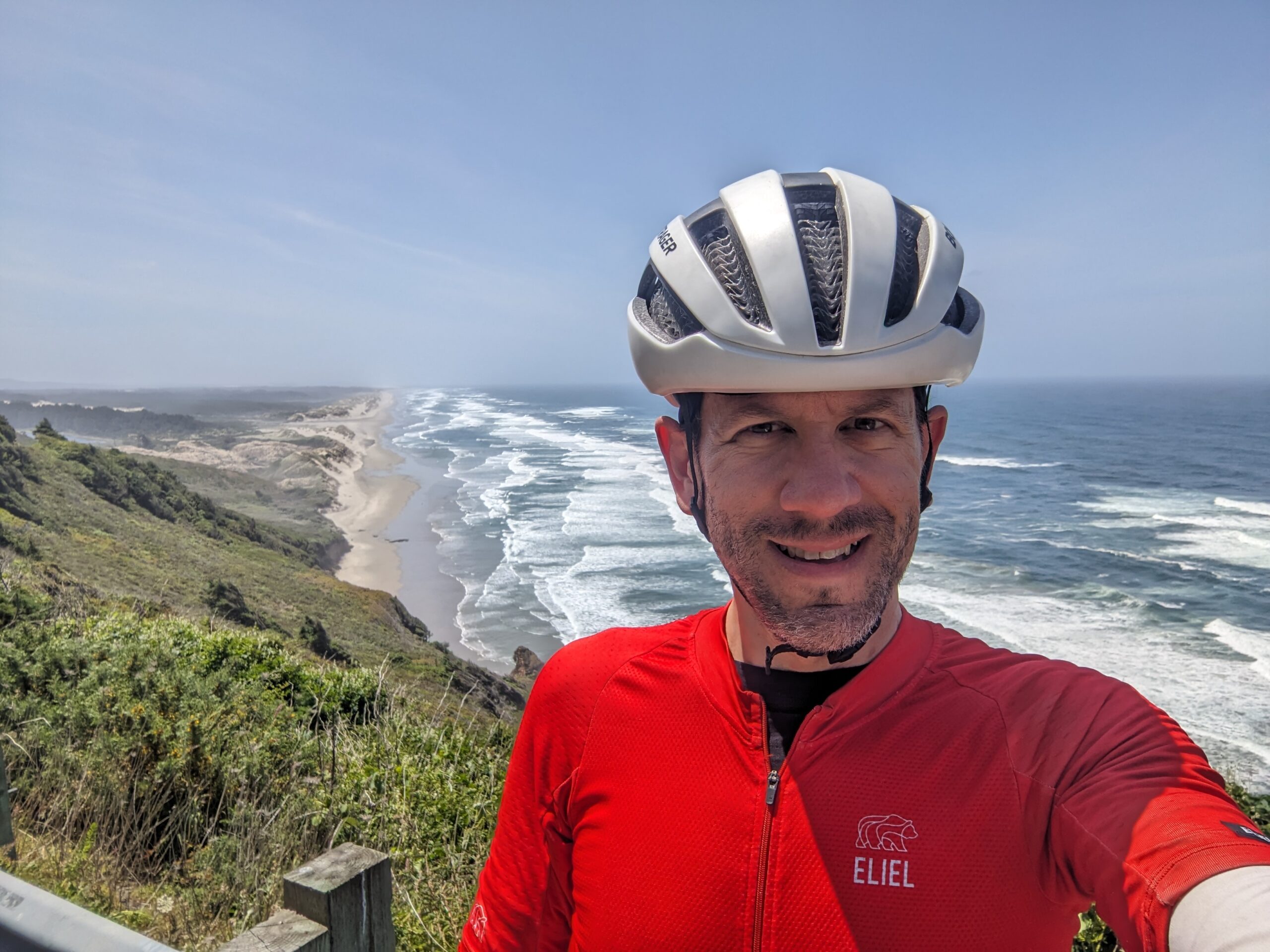
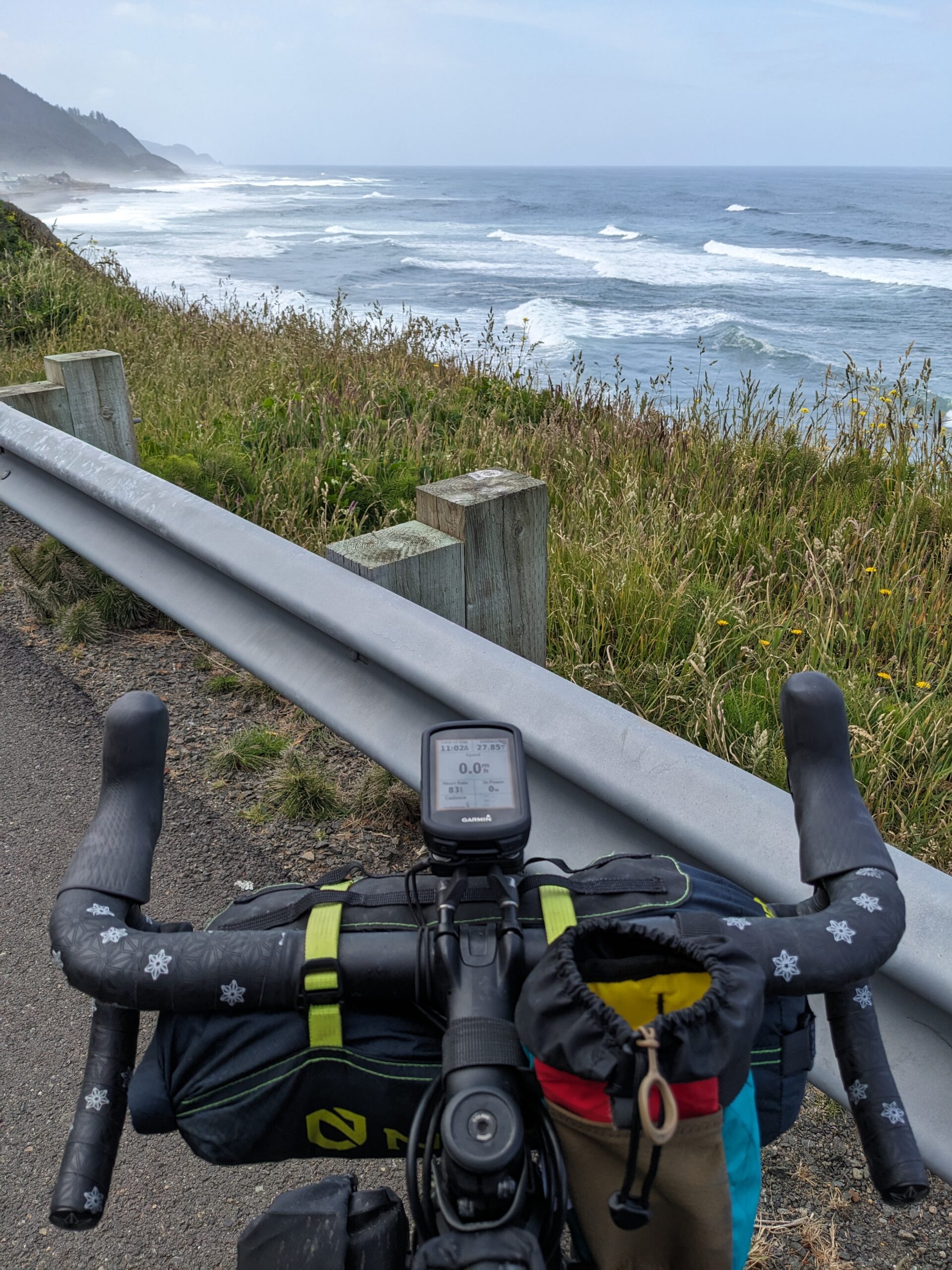
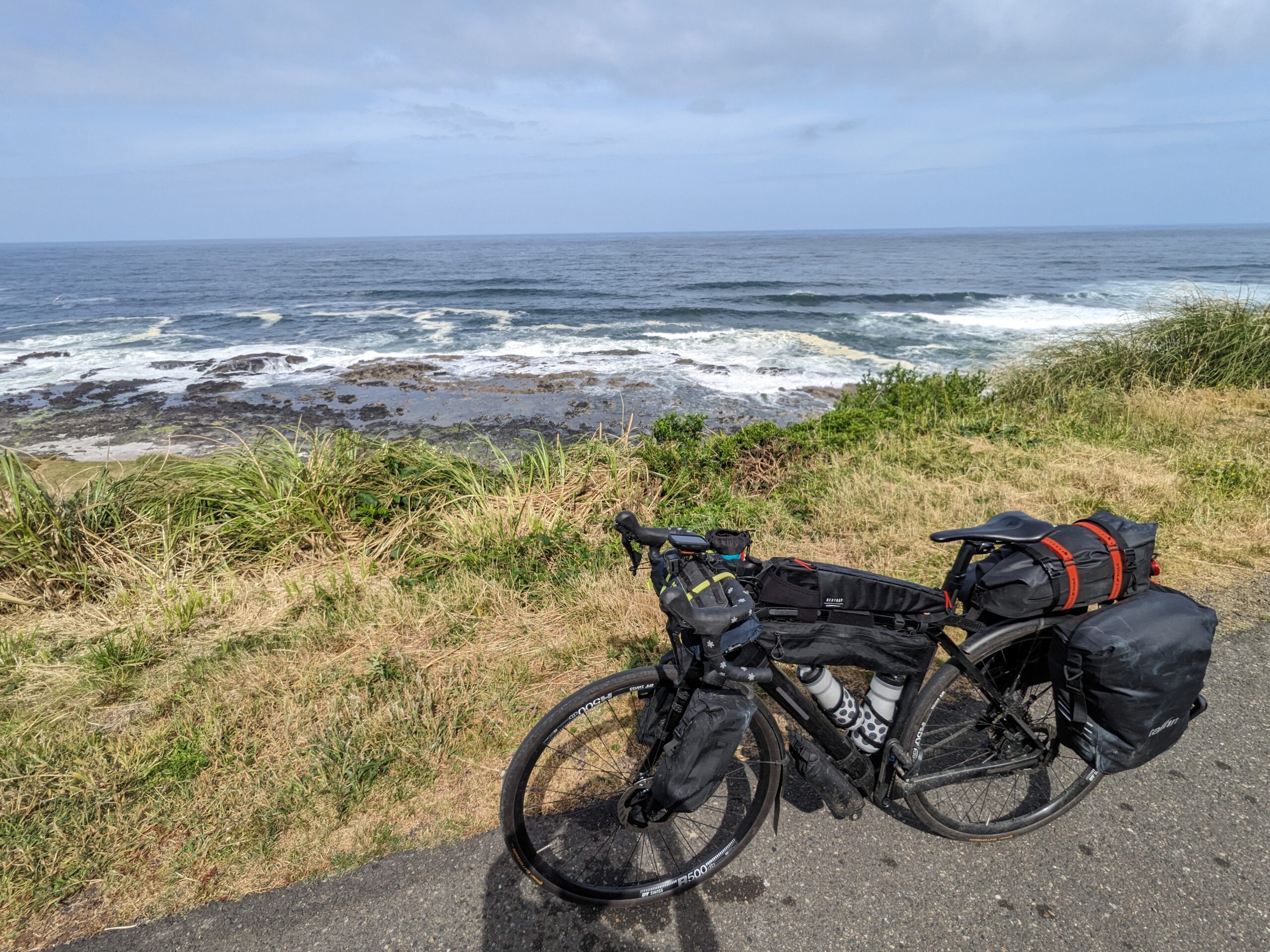
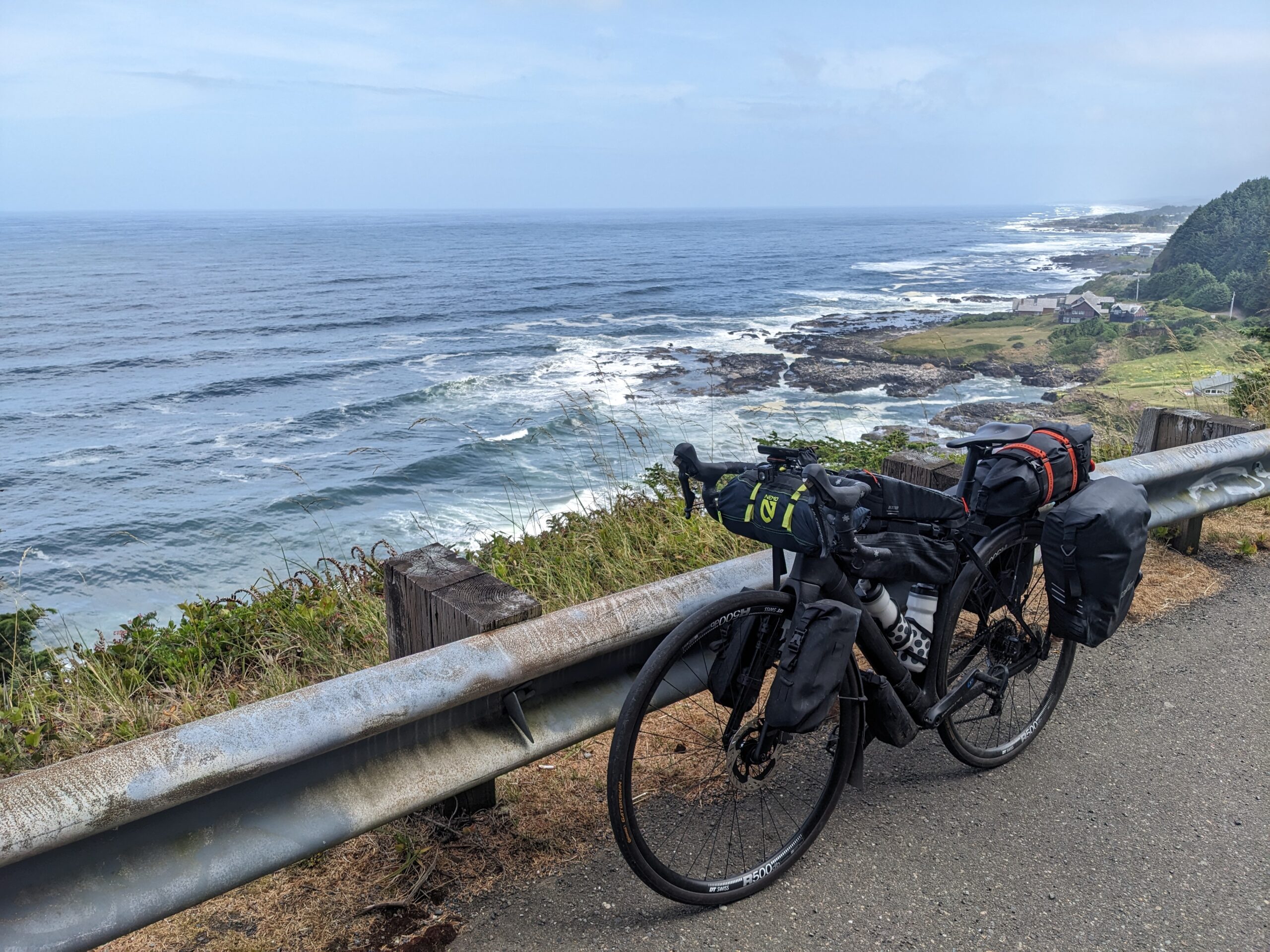
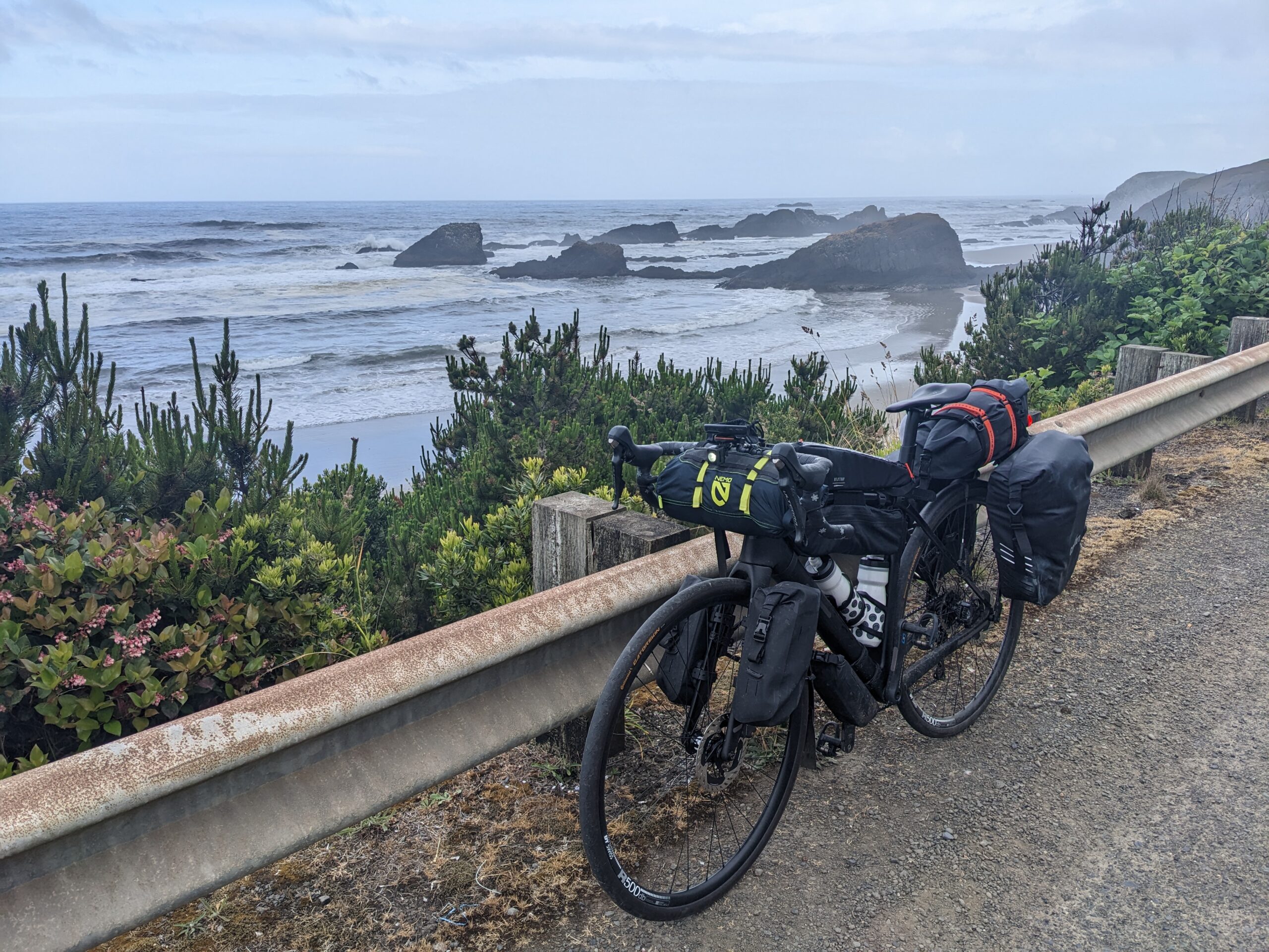
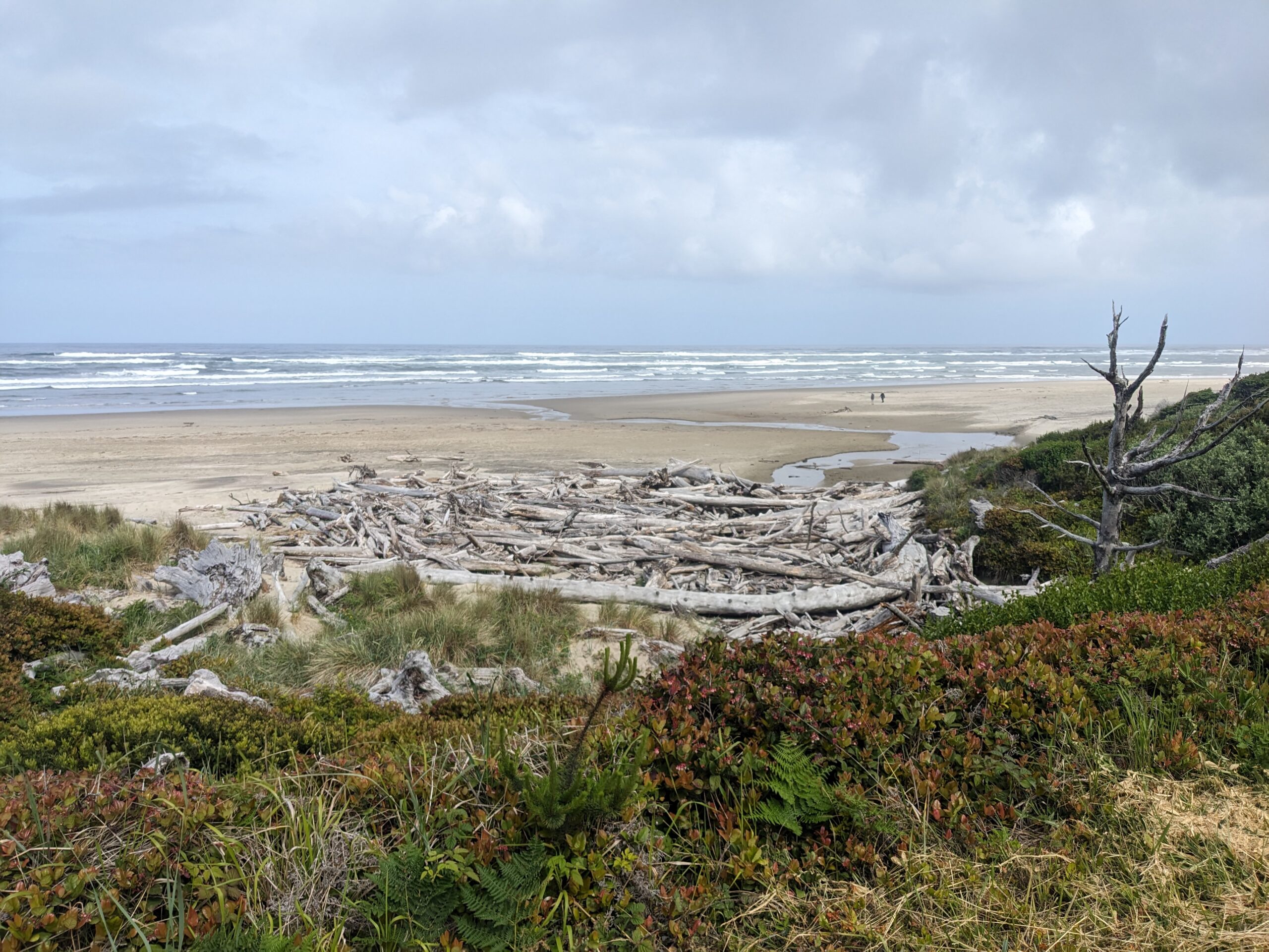
Honestly not much to report on the ride. All highway miles. While there were more than a few scenic pullouts there wasn’t anything awe inspiring like the days before as far as the riding goes. The scenery is stunning and there were a few times my fear of heights gave me a good rush. You’re riding along, see a clearing in the brush, look over and realize you’re several hundred feet straight up from the ocean’s surface below.
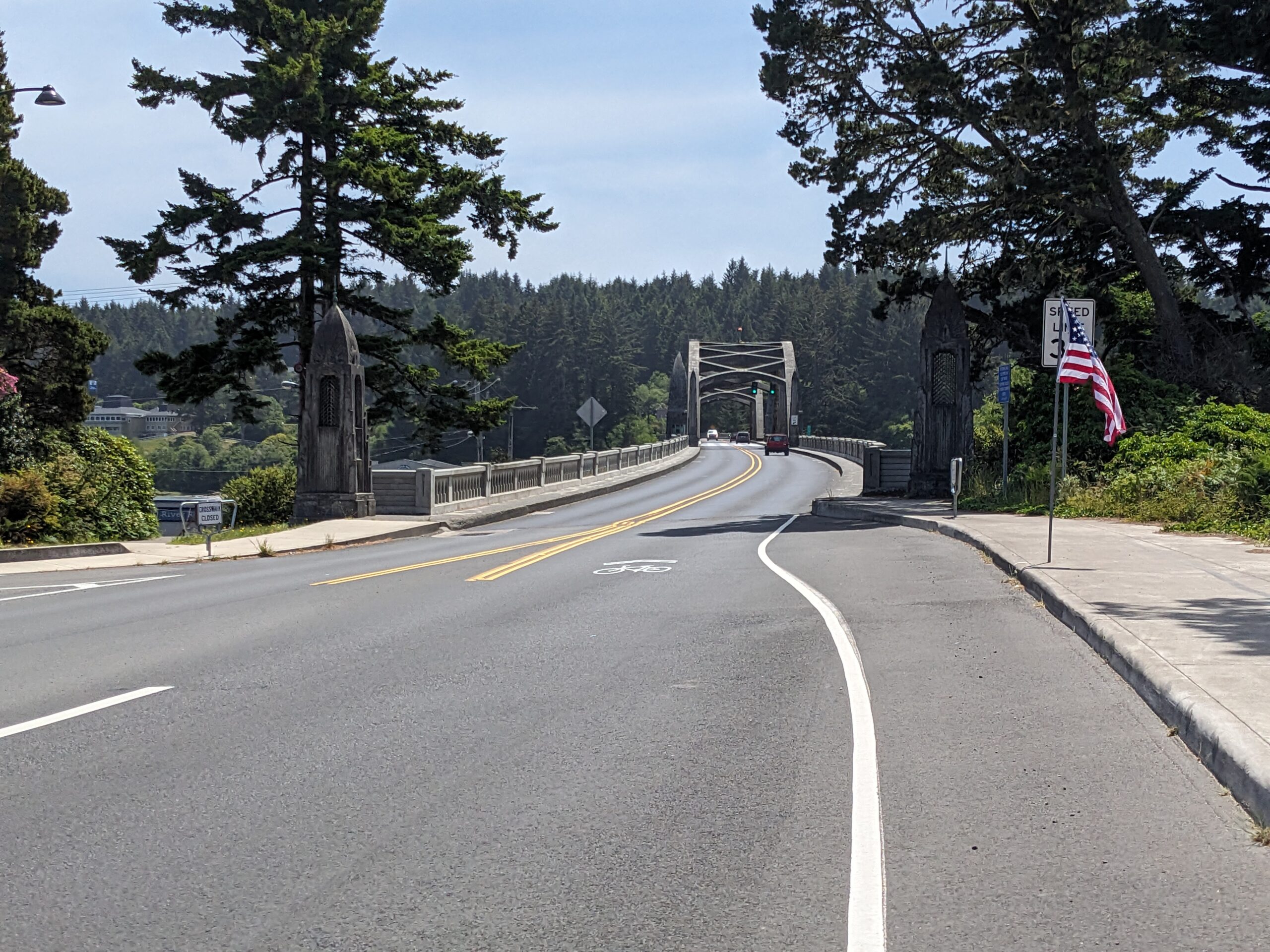
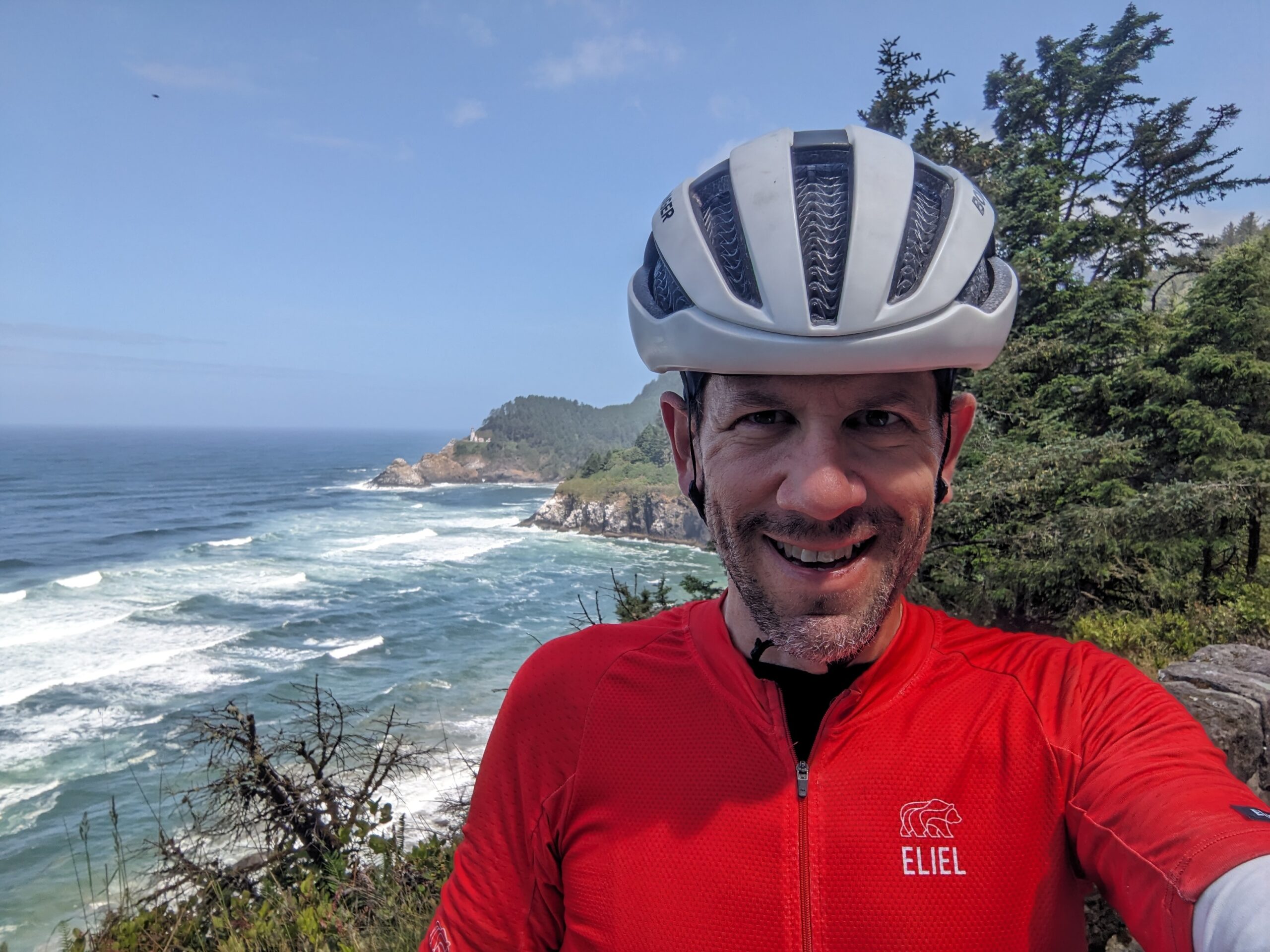
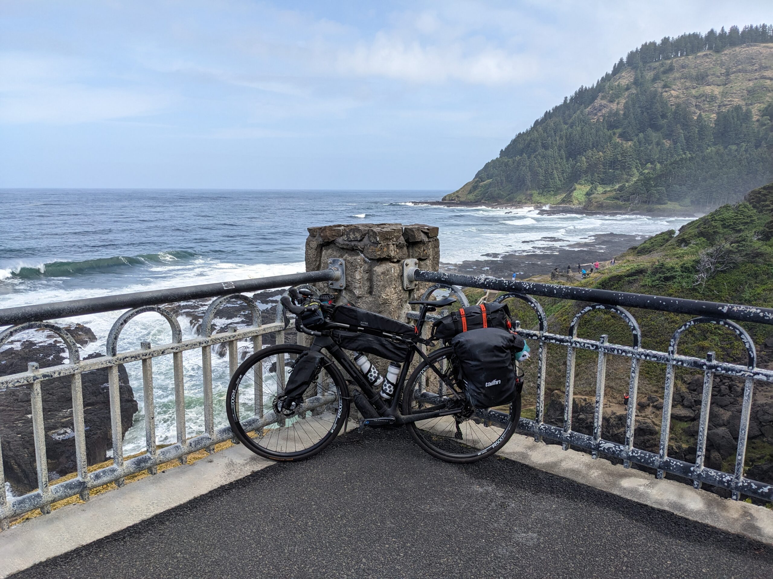
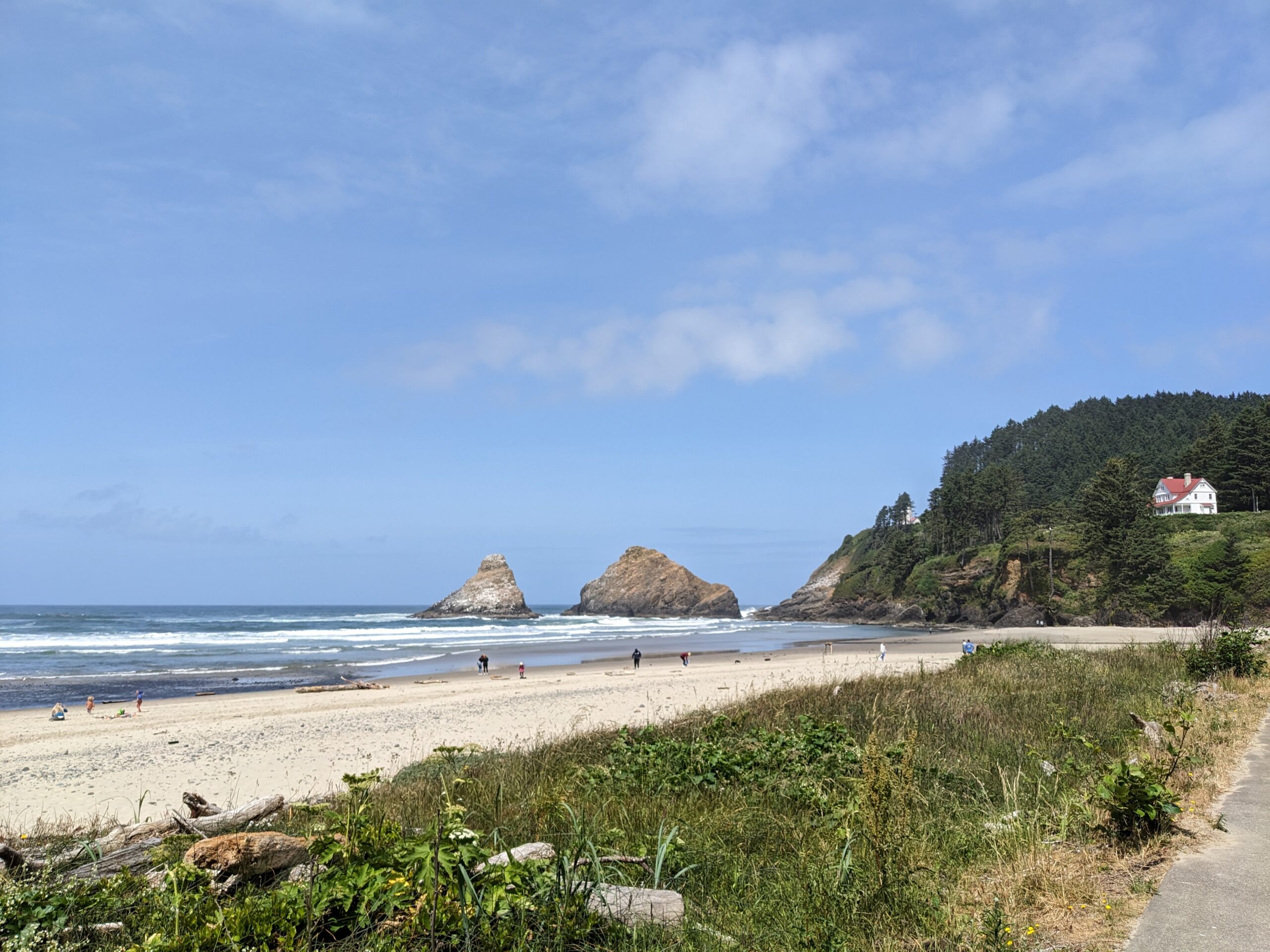
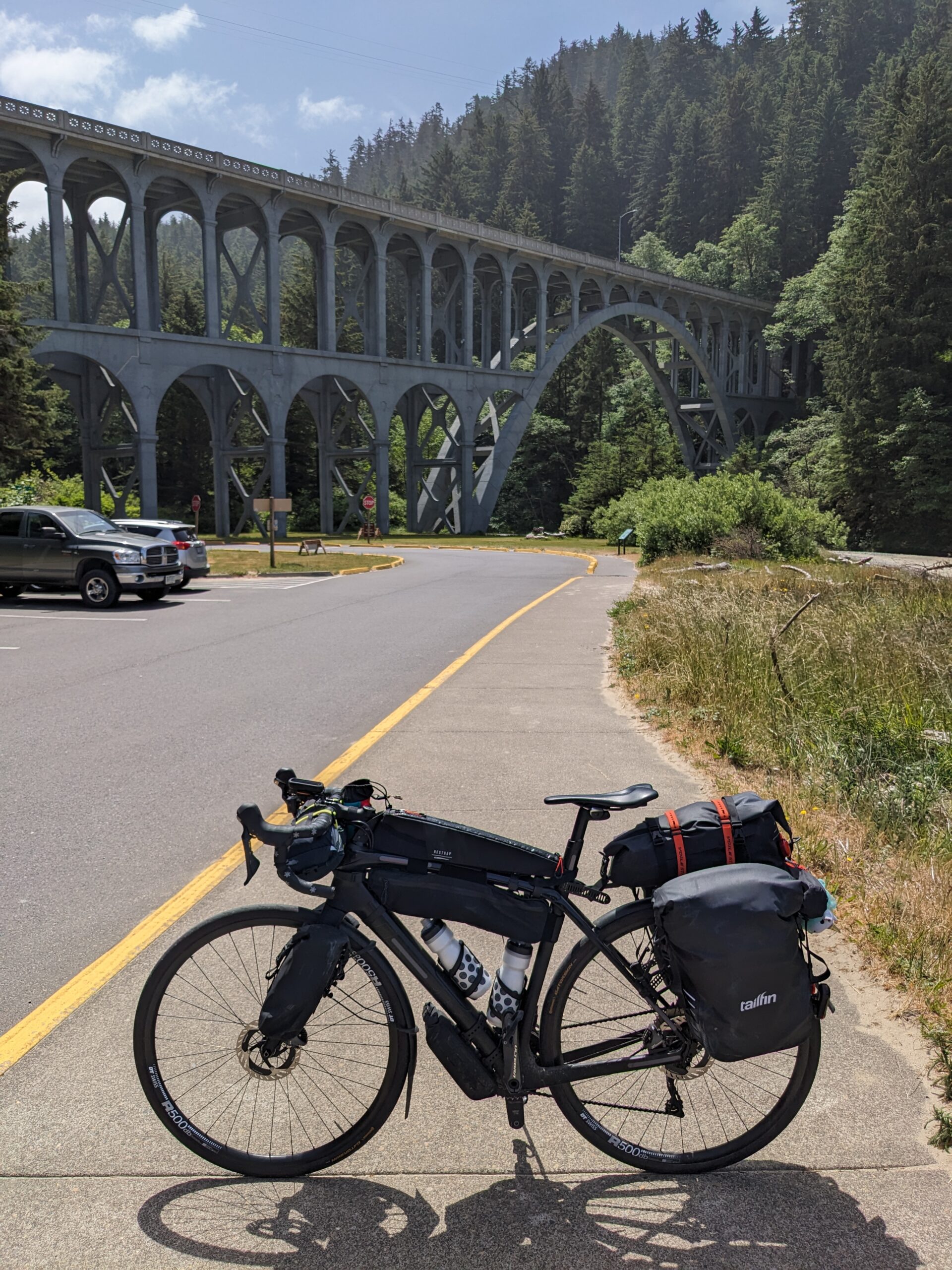
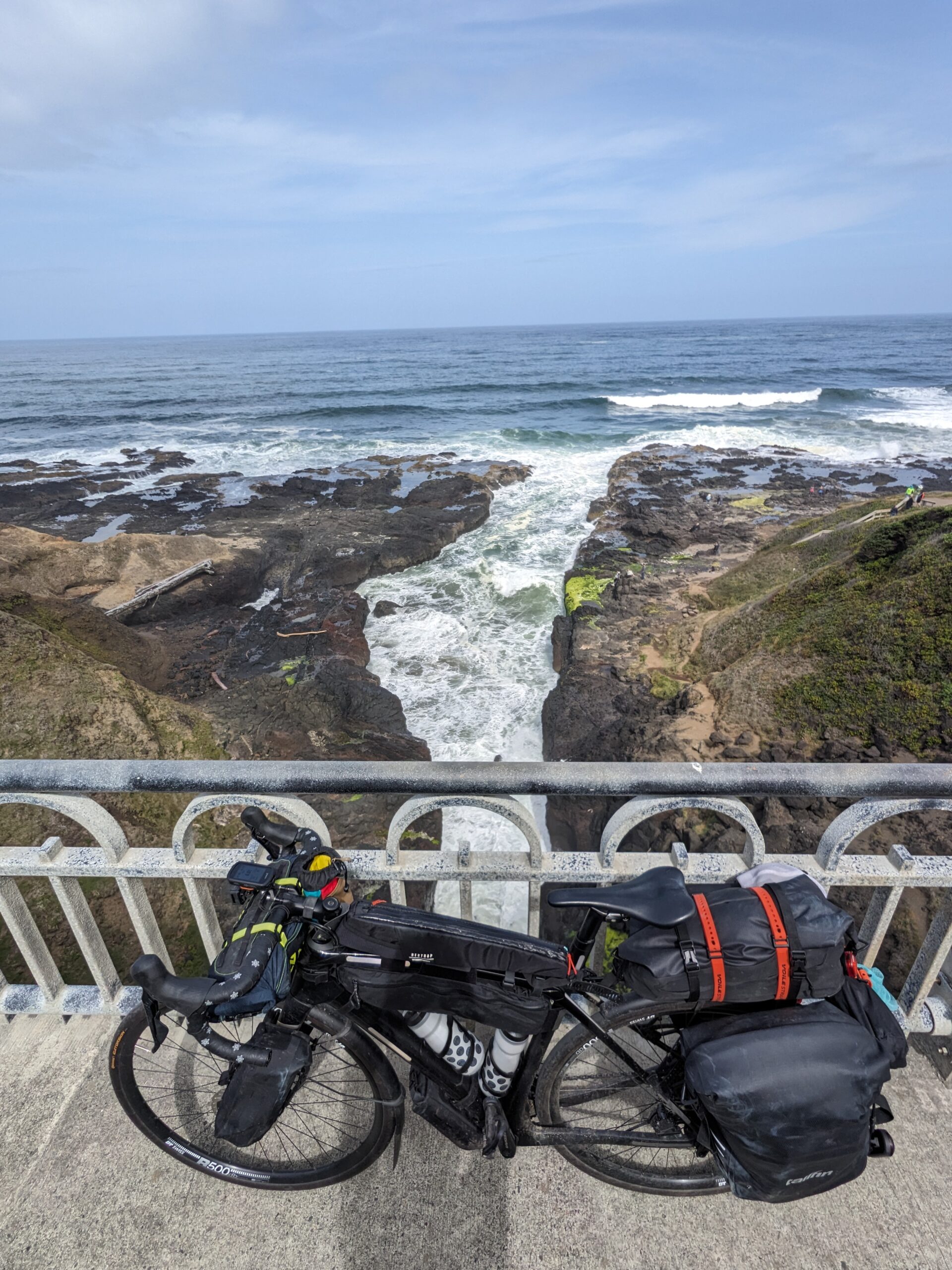
The first stand out thing was the Spouting Horn located near Thor’s Well. I had seen a sign for Thor’s Well and was bummed that I couldn’t go down to see it, but shortly after I saw this pullout that had an interesting lookout across a bridge. I pulled off to check it out and was excited to see a dedicated walkway across the bridge. I rolled along and it put me immediately above the Spouting Horn! I took a couple pictures and videos it was so cool. Both of these are a part of Cape Perpetua which itself is a part of Siuslaw National Forest.
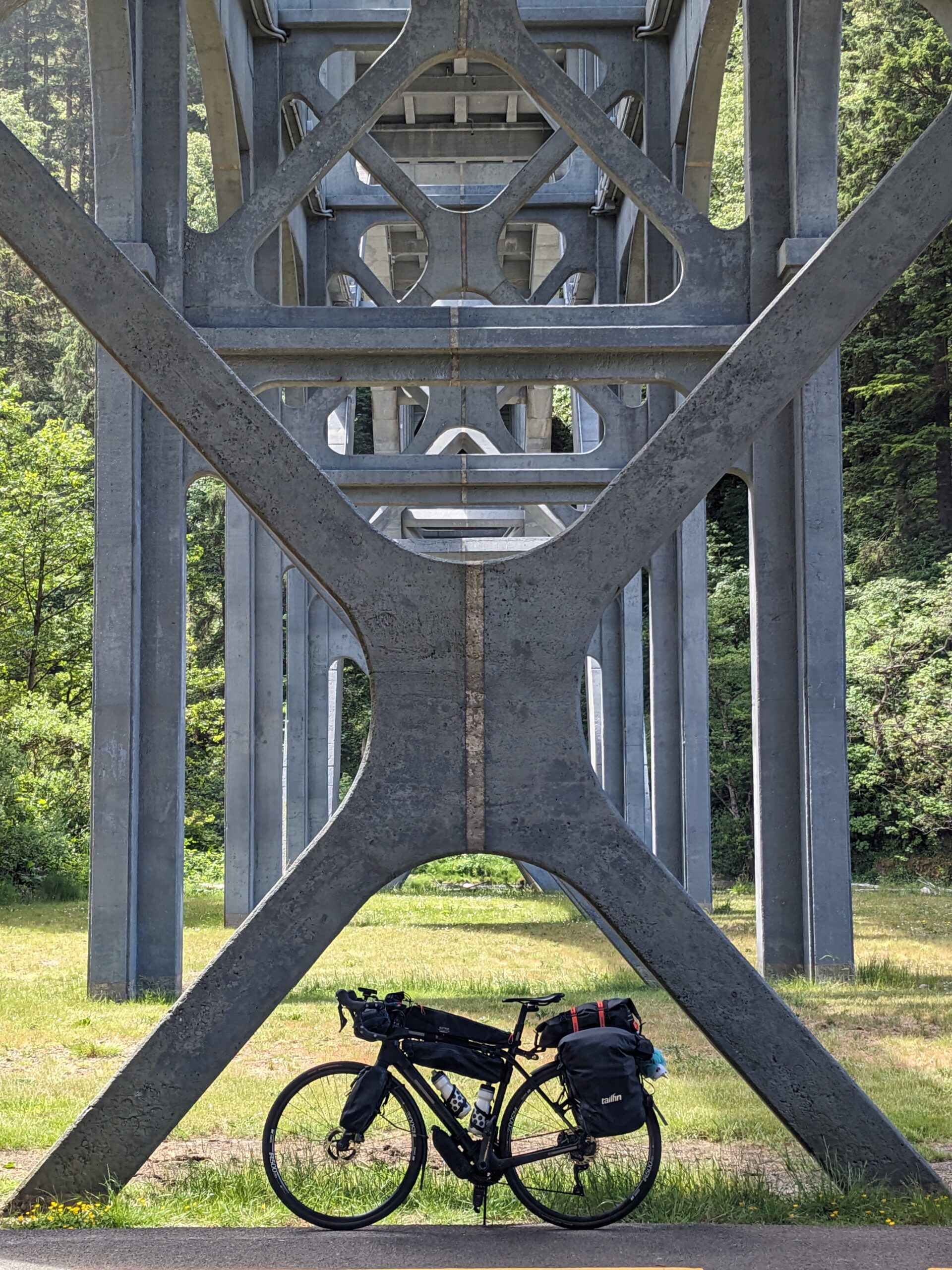
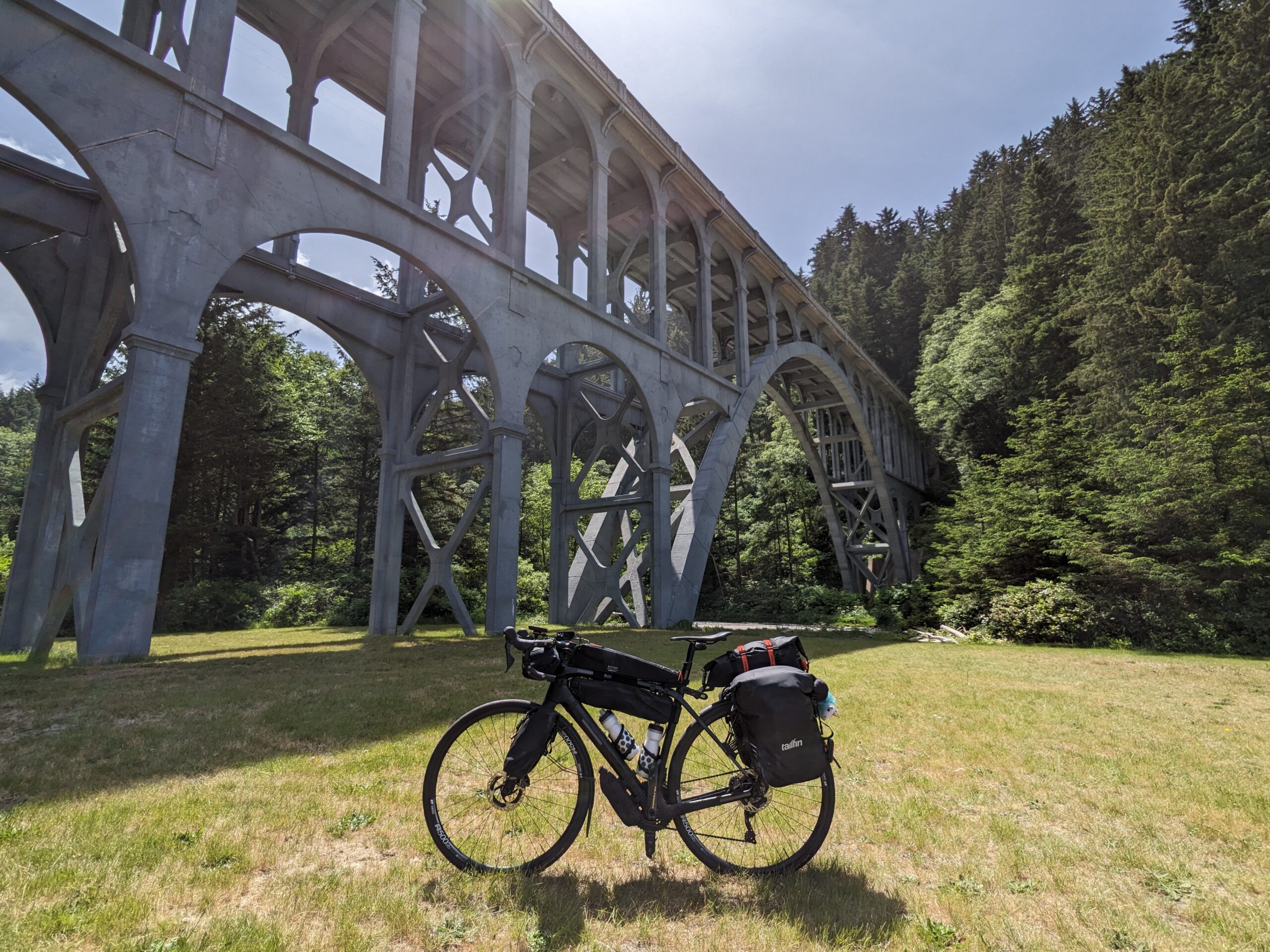
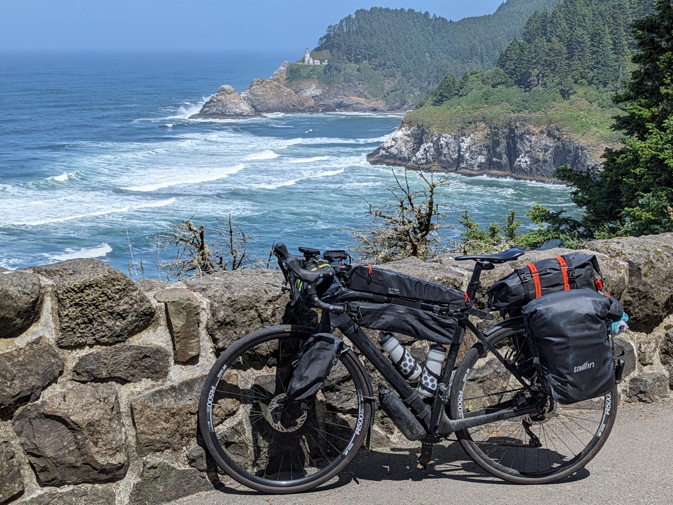
Another stand out portion was the ride down to the Heceta Head Lighthouse parking area. I rode past the entrance because I was moving at a pretty good clip. There was a pullout shortly after that I used to check it out. I saw that it was a decent descent down and debating found down because I didn’t want to come back up! In hindsight I’m really glad I did because I got, what I feel is, a great shot of Shadow under the Cape Creek Bridge. It’s the one where you’re looking straight on into the bridge’s supports.
Eventually I made it into Florence and I knew I was getting close to my stopping point. I had originally planned on riding an additional ten miles to Tahkenitch Campground. When I realized there was an Oregon state park campground in the same area I opted for it instead. Honestly, they’ve all been that nice.
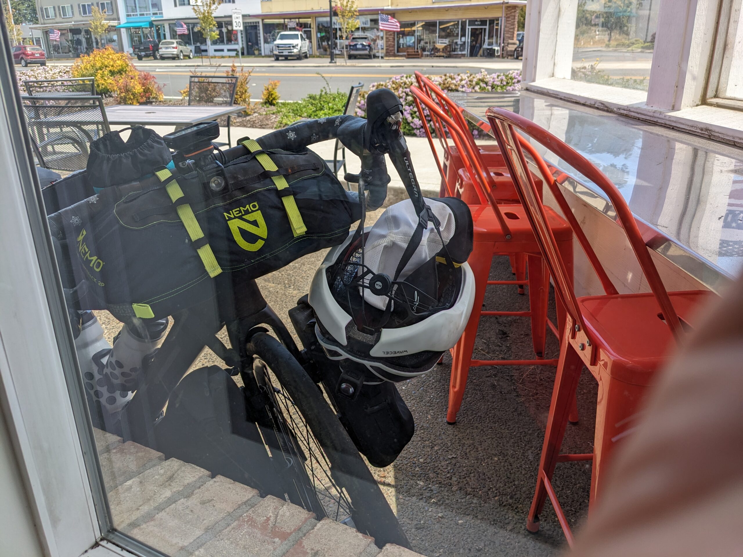
Riding through town I was on the lookout for a local joint for lunch. I passed Fresh Harvest Cafe up mostly because it was on the opposite side of the highway. As I kept working my way through town I started to worry I’d passed up my best chance. Right as I was clearing the busiest part of town I spotted the Little Brown Hen Cafe, and the best part was it was on my side of the road.
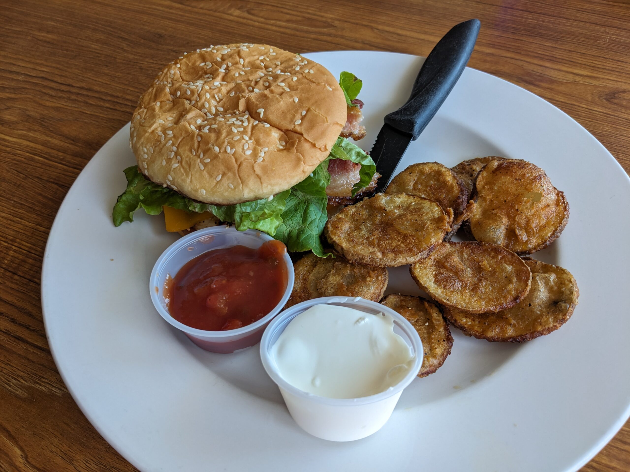
I went inside and was given a table with a window I could use to keep an eye out on Shadow. I chatted a bit with the waiter and learned he was from Albuquerque! I shared that I lived there for a while and New Mexico in general for even longer. After out yammering I ordered the El Pollo sandwich (Tender grilled, skinless breast of chicken and avocado, crispy bacon, Swiss and American cheese, salsa and sour cream on side) which came with what they call “chirps”. These “chirps” are described as “thin sliced potato, dredged in seasoned flour and deep fried”. They were pretty good and certainly better than chips!
When I was finished I made my way towards the campground. Along the way I stopped at a small market to pick up stuff for dinner.
Made it to the park and got all paid up for the next two nights. Yup you read that right tomorrow is a rest day. Hard to imagine I’ve been on the road another five days straight. My last rest day was back at Lewis and Clark State Park!
I’m honestly looking forward to it. Surprisingly the leg muscles are up for more but my right knee was complaining today as was my backside. The later is something I need to really look into once I get back home. Not sure if it’s my saddle, bibs, or something else but I’m real tired of having pain in the same spot from riding.
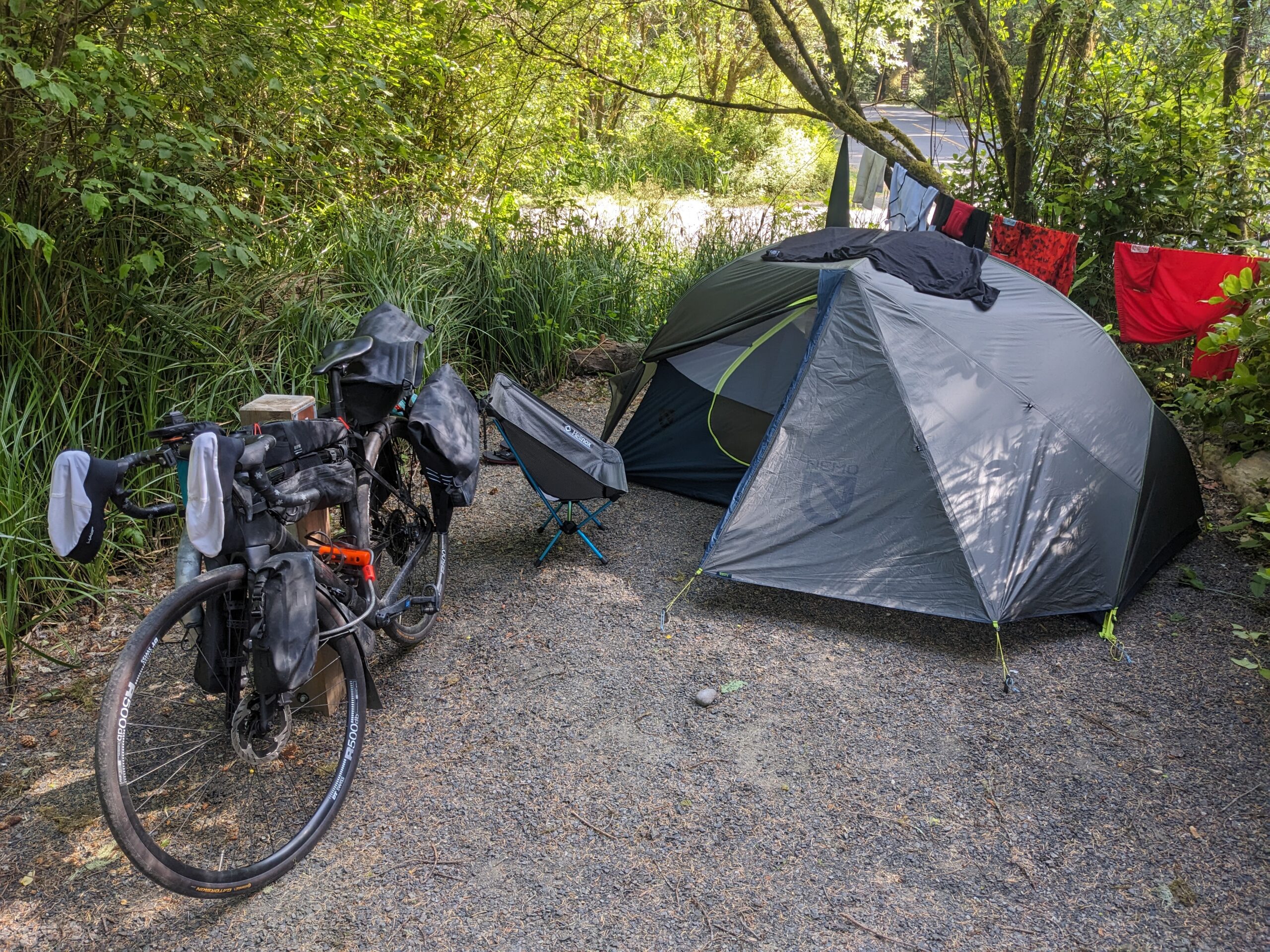
Got the tent set up real fast and a couple things organized before heading off to the showers. After another scorcher of a shower, I washed all my riding gear in the bathroom sink, and it’s now hanging out to dry.
So I’m now at a point where all my “chores” are done! I can relax and focus the rest of my attention on relaxing and recovering for the next stint of five days.
51.17 new miles
🏘 Completed 25% of Carl G. Washburne Memorial State Park
— From Wandrer.earth
Cloudy-Mostly sunny, 54°F-61°F, Feels like 58°F-63°F, Humidity 71%-67%, Wind N 0mph-NNW 17mph – by Klimat.app
— myWindsock Report —
Weather Impact: -11.1%
Headwind: 10% @ 3-6.9mph
Longest Headwind: 01h 9m 34s
Air Speed: 12.1mph
Temp: 55-59°F
Precip: 0% @ 0 Inch/hr
— END —


Max elevation: 439 ft
Min elevation: 2 ft
Total climbing: 2818 ft
Total descent: -2717 ft
Total time: 06:39:42
Be First to Comment