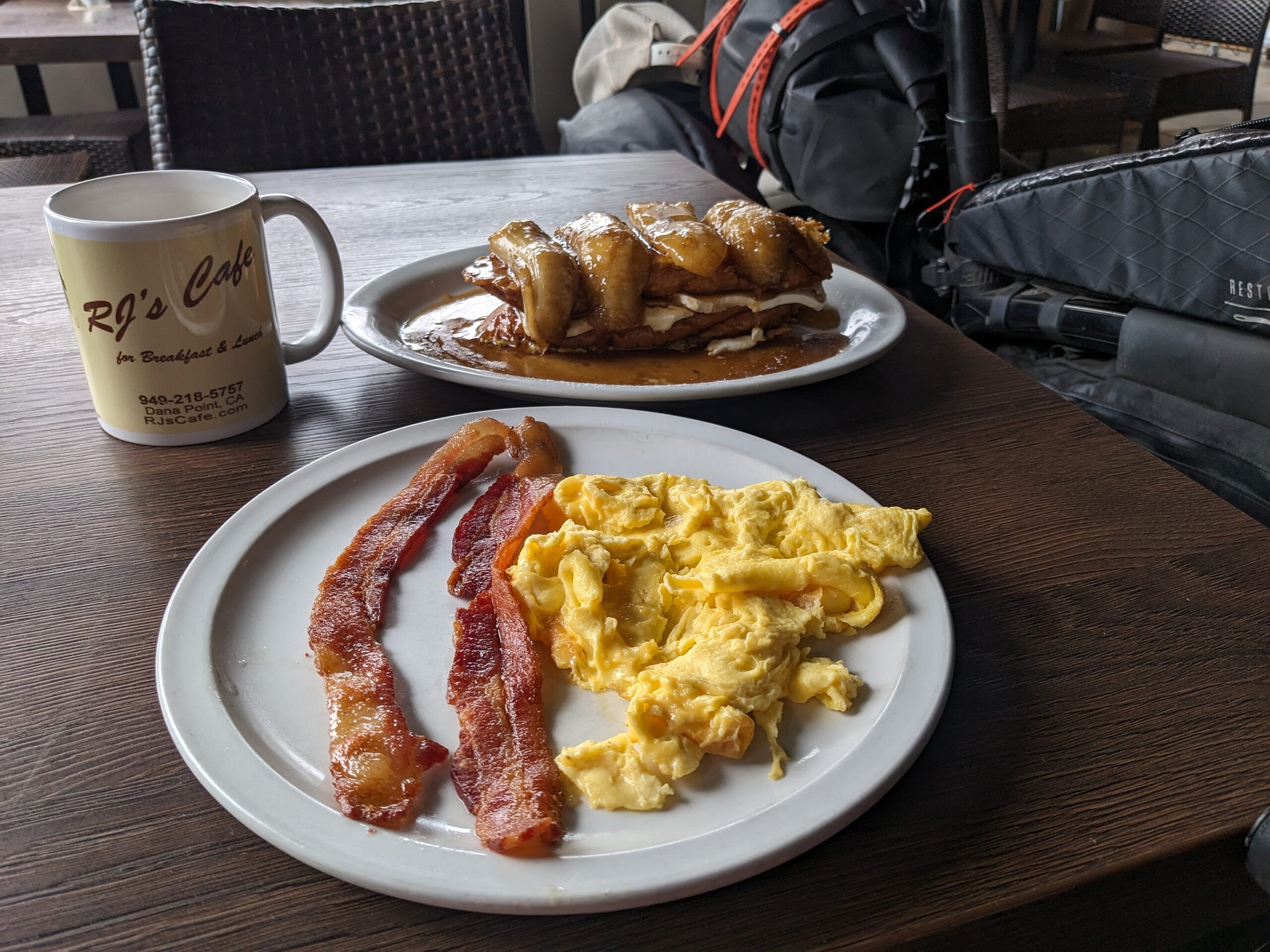
One nice thing about a hotel stay is there are usually restaurants within walking distance. That held true with last night’s hotel. I scoped out breakfast joints last night and there were two options. I am planning on staying at the aame hotel on the return trip north so I figure pick one for today and do the other on the way back.
I decided to go with RJ’s Cafe this morning versus the other joint. The determining factor was they opened 30 minutes earlier than the other place and I’m expecting a big day today. No point in changing what’s been working so well so I again went with french toast. They have it listed as “RJ’s ‘Richard’ Combination” which is two french toast, two bacon or sausage, and one egg. I opted for their stuffed banana french toast which was french toast stuffed with sauteed bananas with cream cheese. I couldn’t decide between the bananas and apples, and decided on the banana with the help of the waitress. It was ridiculously good. The cream cheese was definitely a surprise. I wasn’t 100% on the idea but it turned out great.
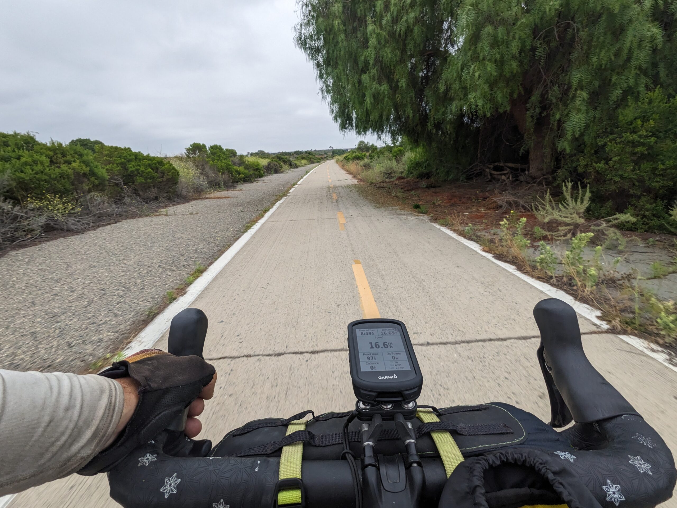
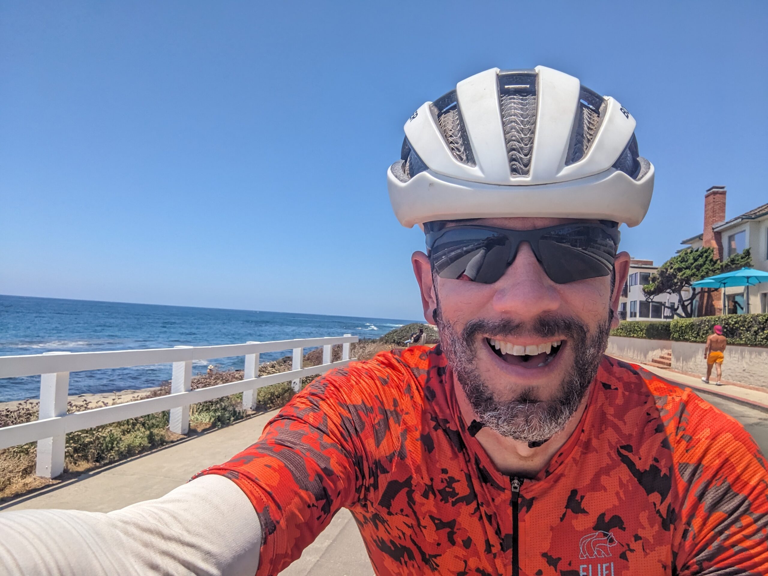
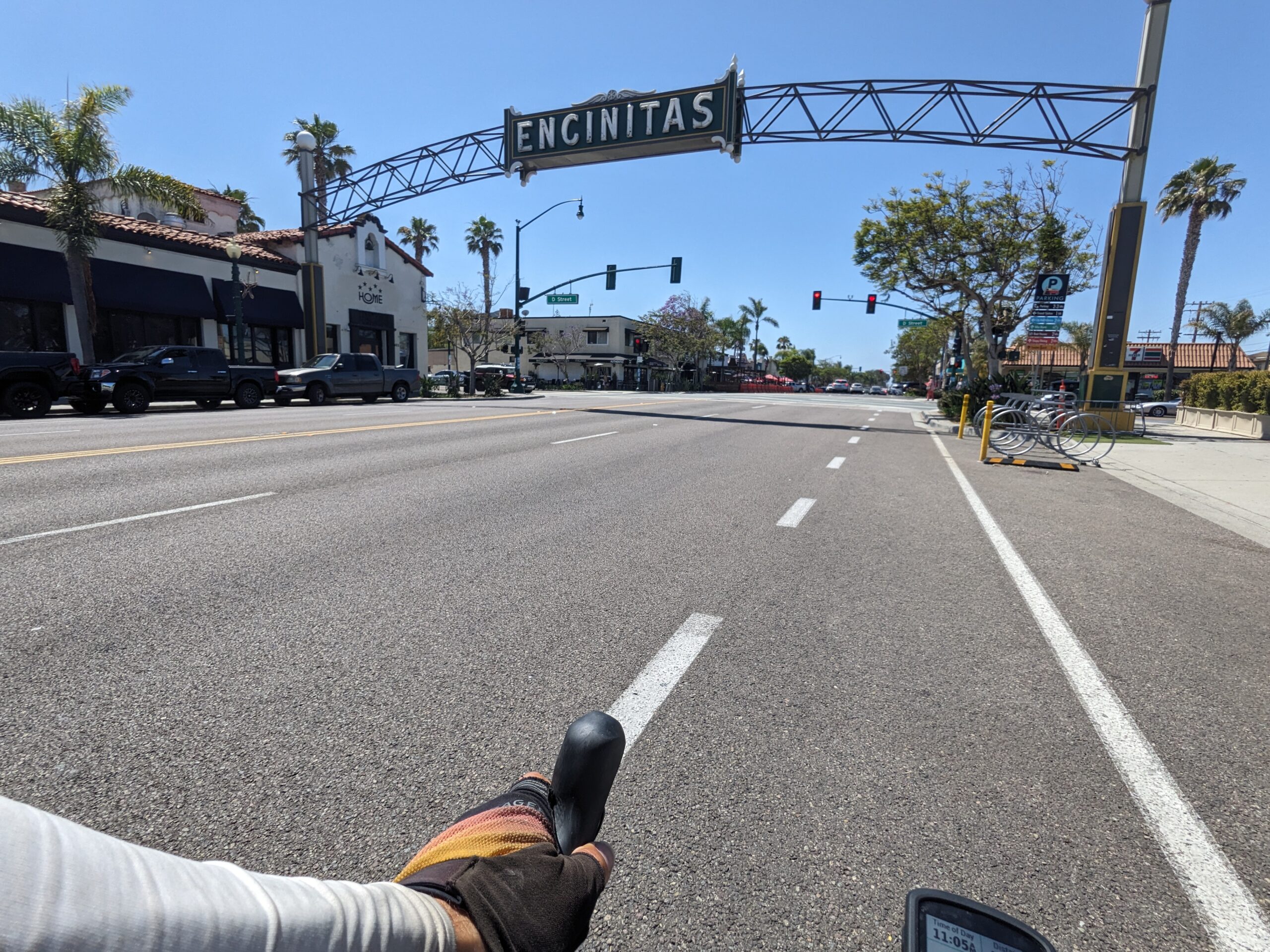
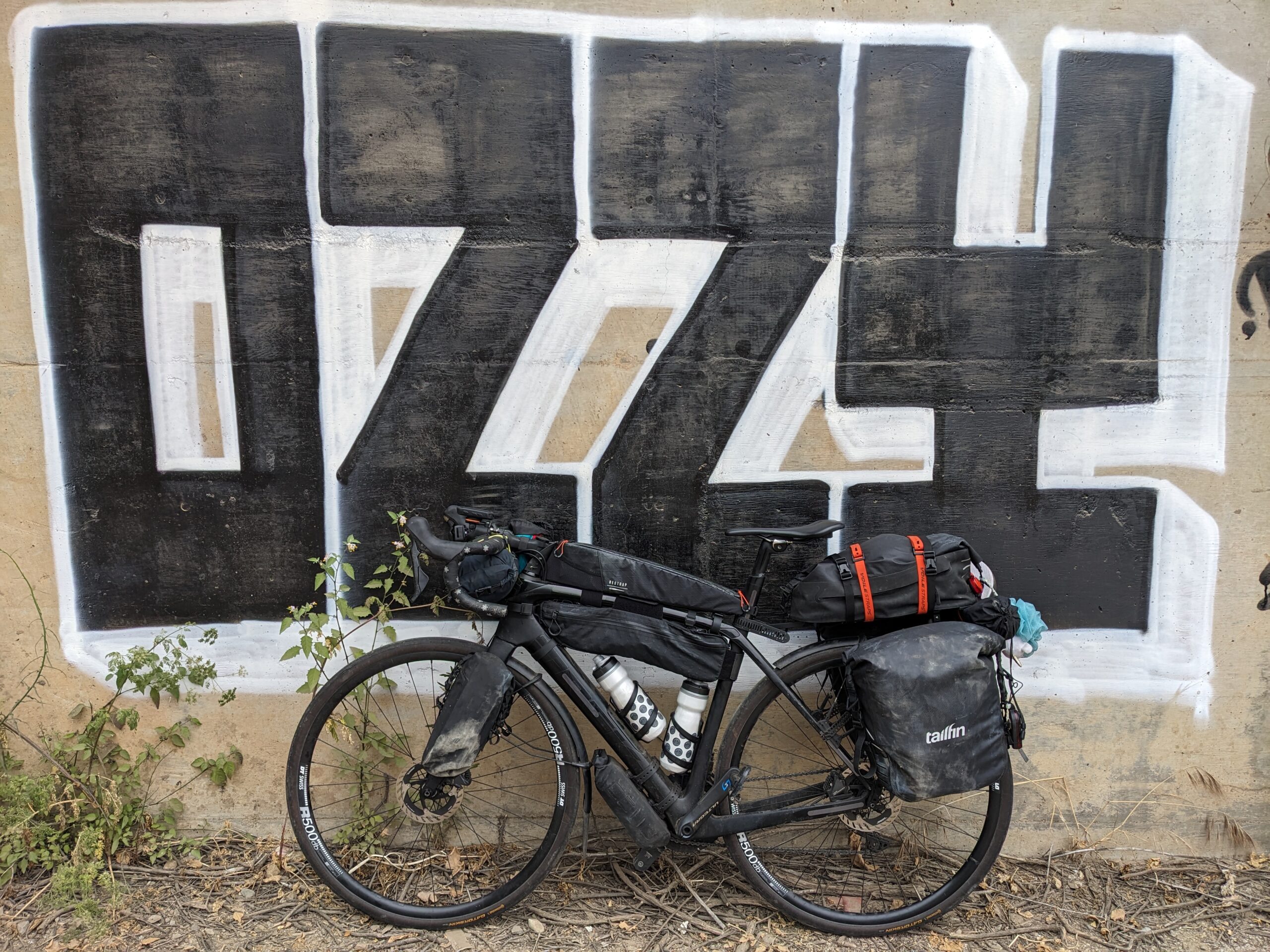
With breakfast done it was ride time. Things started out with a short cruise along the coast highway, not sure if it is technically CA-1 at this point, until San Clemente. Once there I turned off into neighborhoods following my route map. I was surprised to also see several “Bike Route” as well. A little up and down and side to side along the way.
Riding through San Clemente ended with joining the San Clemente Bike Trail. The trail started small but opened up quite nicely after crossing an old bridge. I checked into it and it looks like this was an old alignment of US-101. It was only a dedicated bike trail briefly before joining another section of the old US-101 alignment.
I had the entire road to myself. I’m pretty sure this old alignment remains public solely to allow access to the San Onofre Nuclear Power Plant and San Onofre State Beach. The road only takes you to those two places. If you want to continue south, by car, you have to use I-5. A short distance after passing the power plant I entered the San Onofre Bluffs Campground. I rode the length of the campground and it ended by transitioning to the Old Pacific Highway Bike Trail.
Now the Old Pacific Highway Bike Trail was a real treat. It’s pretty much the old alignment but it continues onto Camp Pendleton property. The surface was relatively smooth and one section was absolutely gorgeous. It is the perfect calm before the storm.
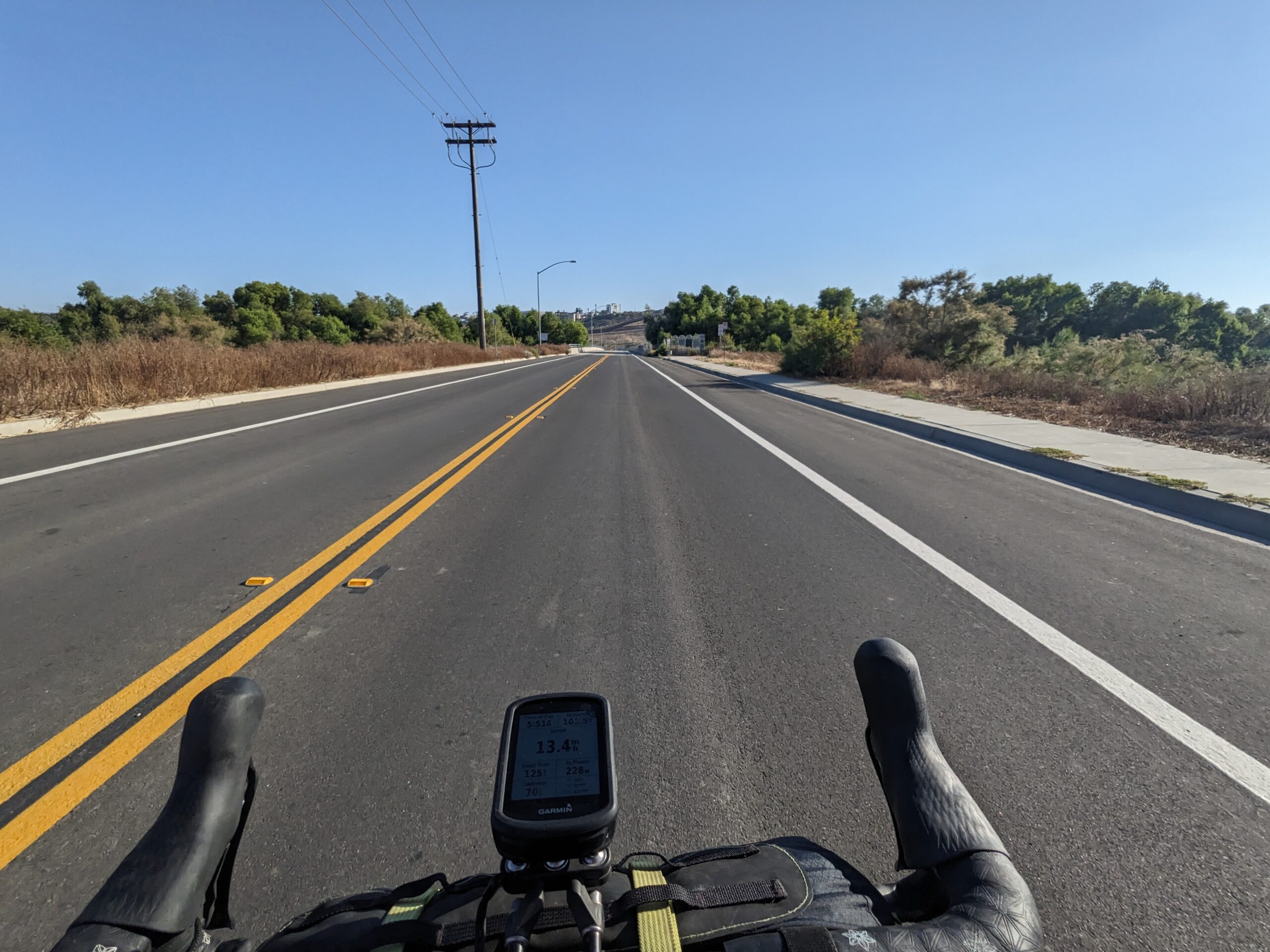
Unfortunately, Camp Pendleton doesn’t have a trail to take you all the way through the base. The Old Pacific Highway Bike Trail ends at Las Pulgas Road. From here your only option to ride on to San Diego is to ride on I-5. I’ve been riding on roads classified as “freeways” on and off already, but not a full on interstate. Honestly, it wasn’t really that big a deal. The shoulder is huge and there were signs indicating there would be bikes on the road. The hardest part was the noise. All that traffic was loud, but I would rather hear the traffic than risk using ear plugs and miss hearing something. Thankfully the interstate ride was a brief five miles before I exited at Oceanside.
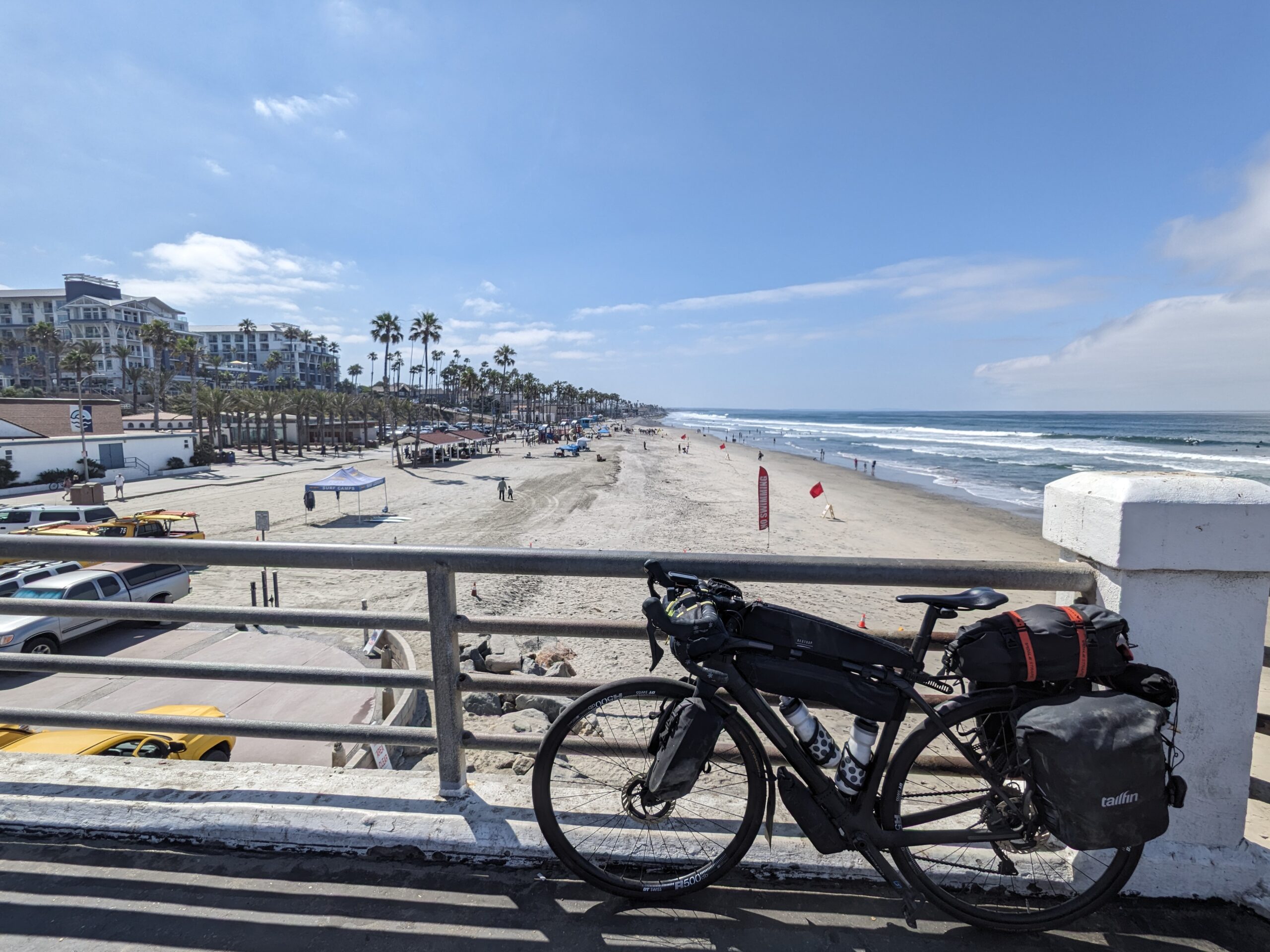
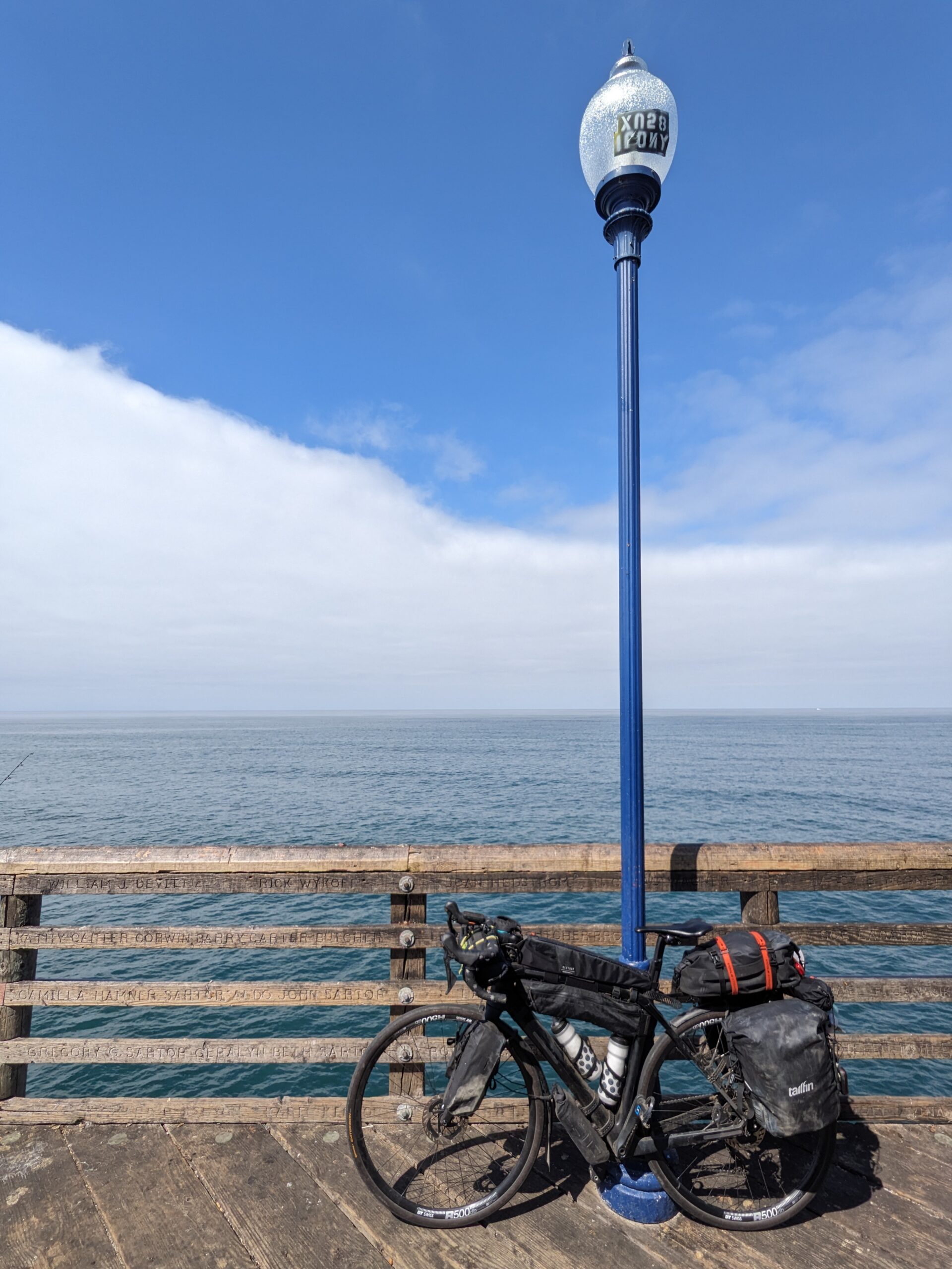
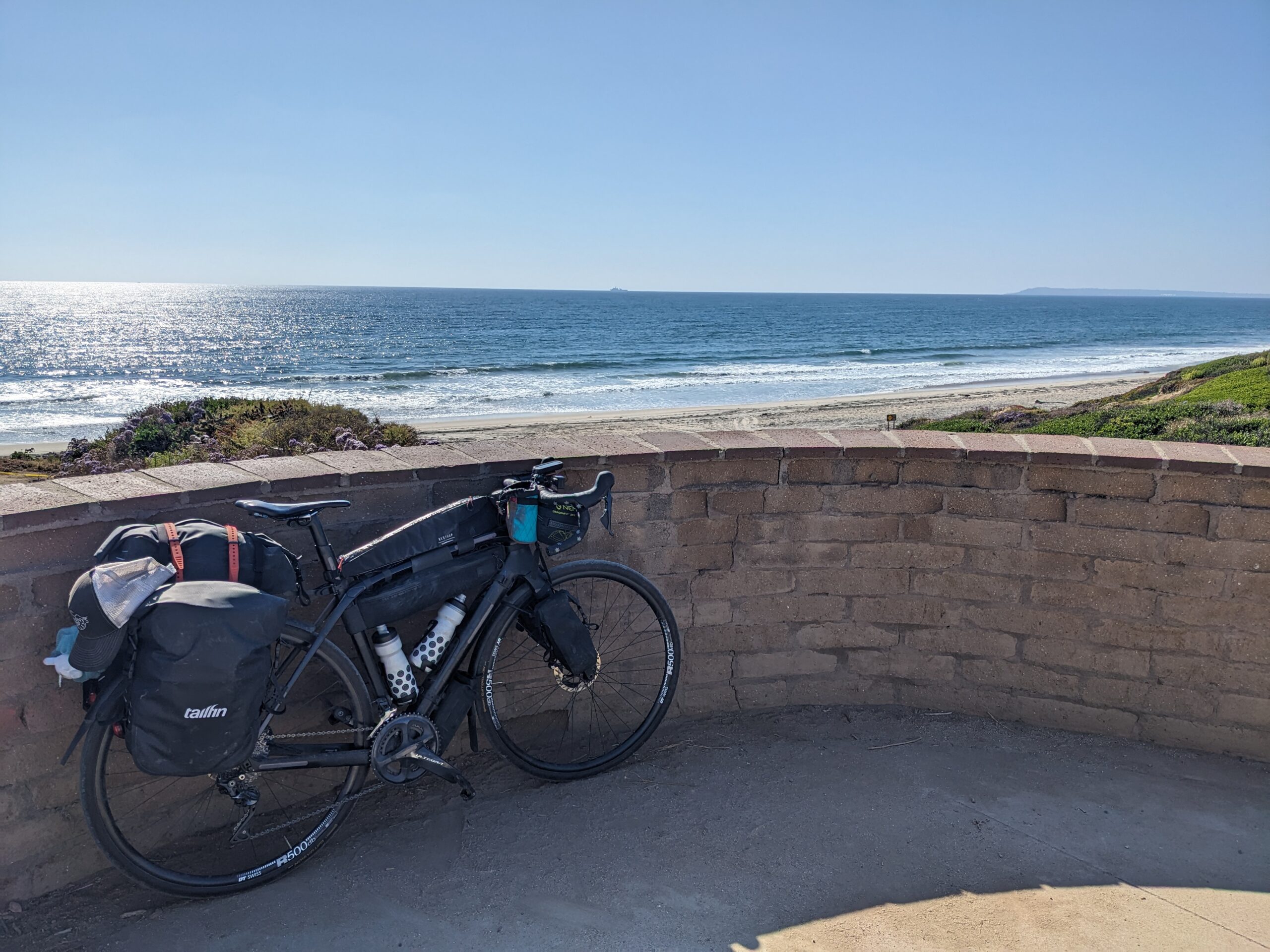
My route took me down along Oceanside’s shoreline. It was very similar to Venice Beach and the strand further north. I did make a point to ride out on the Oceanside Pier to take a couple pics.
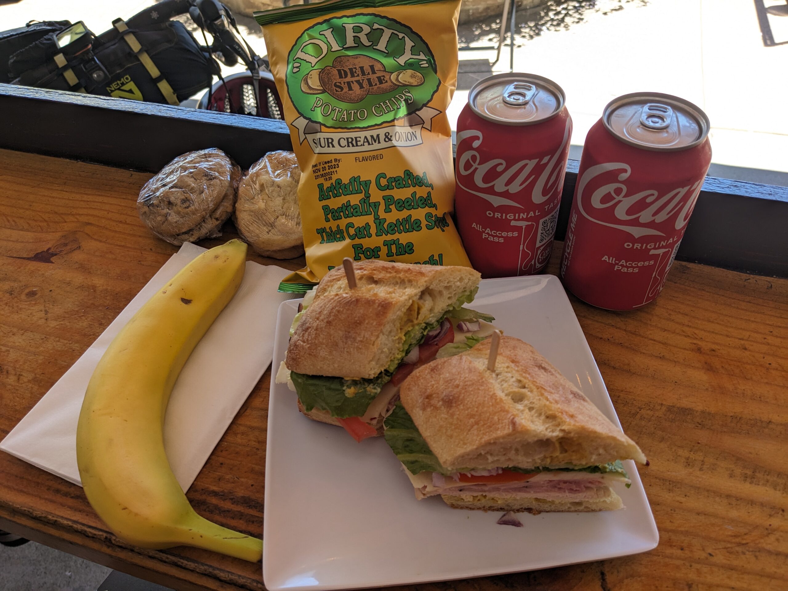
After an absolutely monster climb, 1.5 miles at 5%, and quick descent through some of UCSD’s campus I felt it was finally time for some lunch. Scanning the different shops I spotted The Corner Mercantile & Eatery and figured I’d stop and give it a try.
As I pulled in an older gentleman asked where I was heading to and coming from. I replied, “On my way to San Diego from Dana Point, but I started in Vancouver 30 some days ago.” This got him all excited and I told him to hang tight and we’d talk after I ordered.
I ended up having a great chat with Walter over lunch. Walter is a former construction supervisor with UCSD. He would sign off on expenses which were submitted by various contractors doing work and verifying what they were billing for had been done. We talked about all sorts of stuff, but then he hit me with this, “What have you taken away from this trip?”
I thought for a moment and replied, “When I talk about this trip people think I’m crazy. They think it’s dangerous aside from the riding. I’ve been asked several times if I have a gun. The thing is it isn’t dangerous. Most people are very friendly and kind. The bad ones are rare, but sadly they’re the only ones we hear about so most people are convinced that’s all that’s out there. It doesn’t help that we’re programed to respond and remember bad things more easily than good. Ultimately, negative is easy positive is hard.”
This got us onto a more political and ideological talk, but we both shared similar opinions on a few different things. Soon enough my lunch was done and I needed to get rolling. I thanked him for his time and conversation and wished him the best.
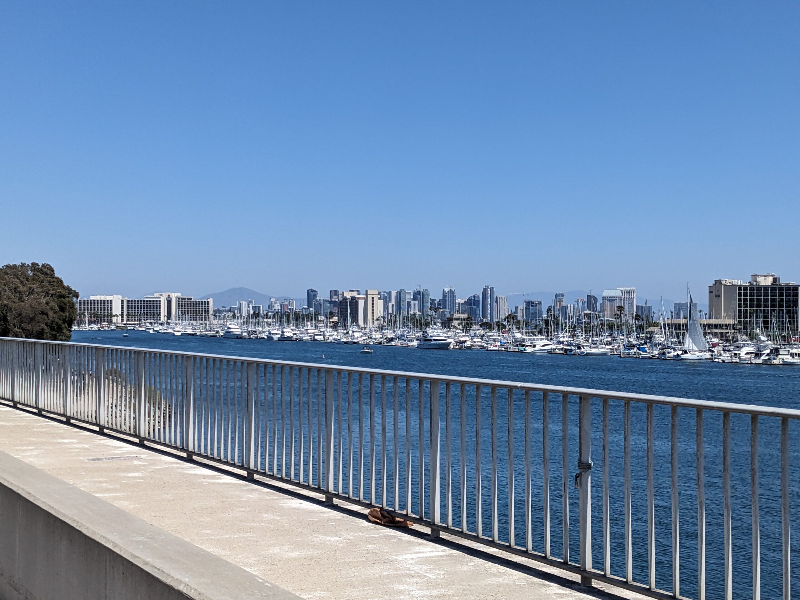
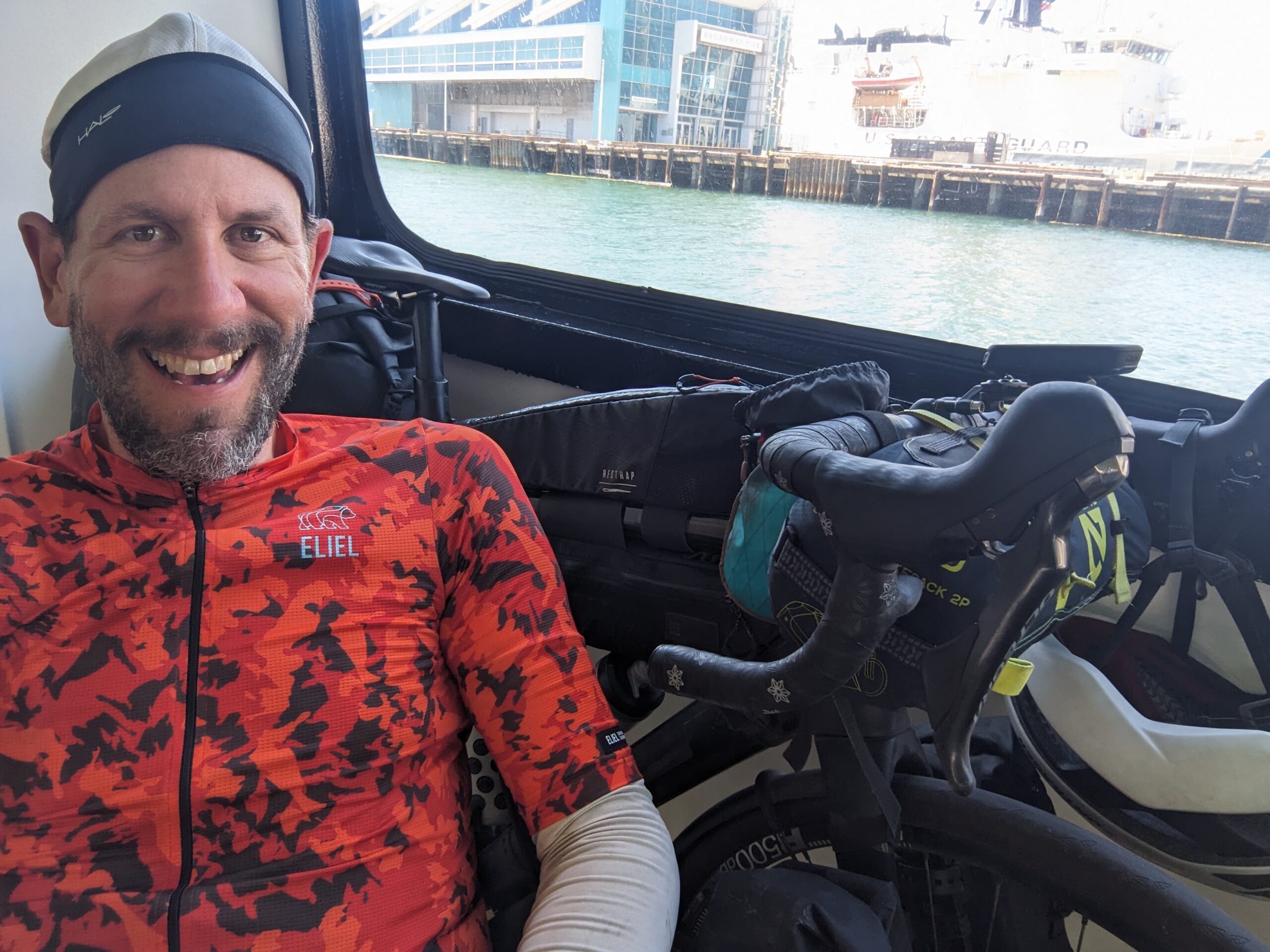
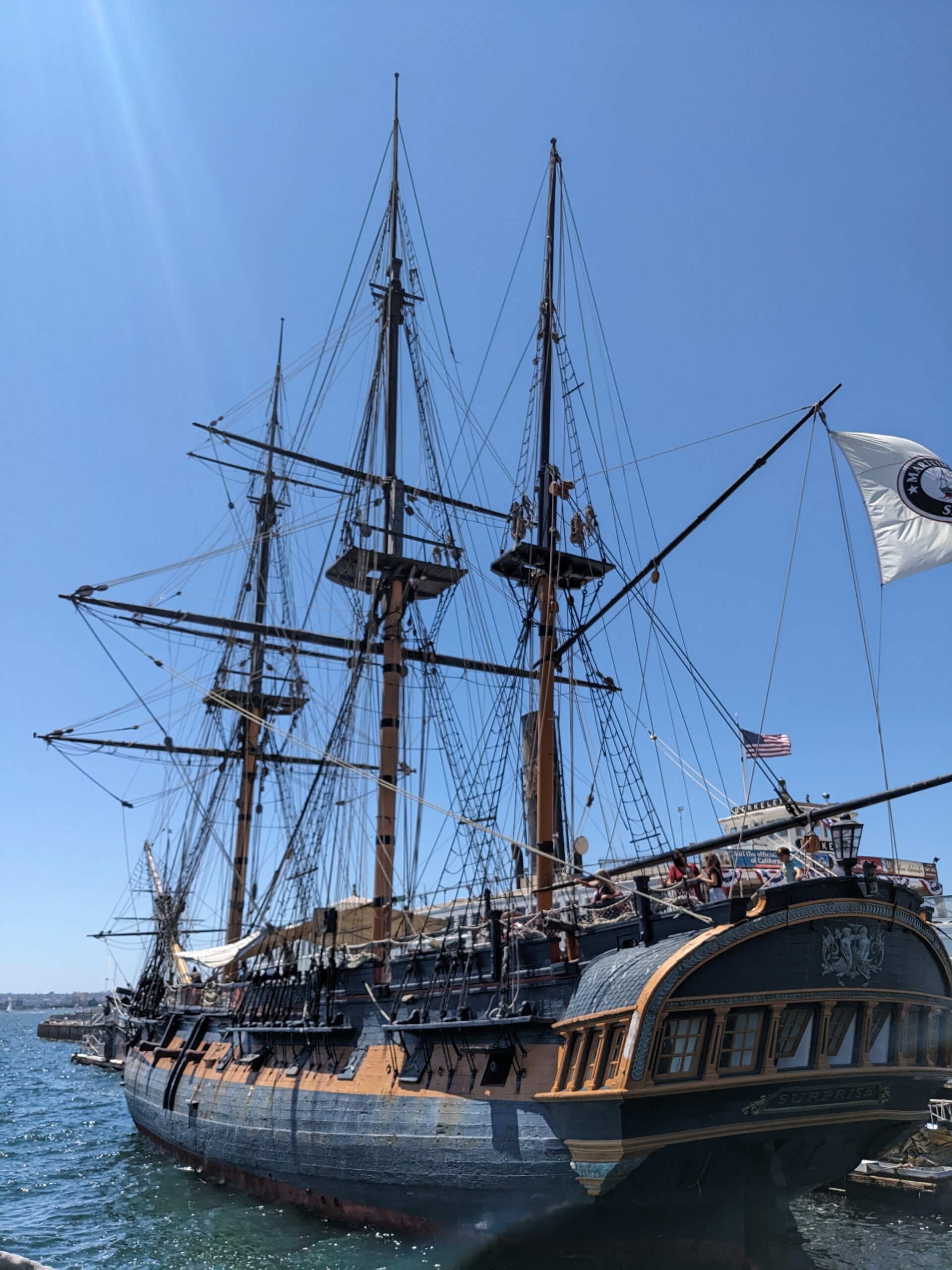
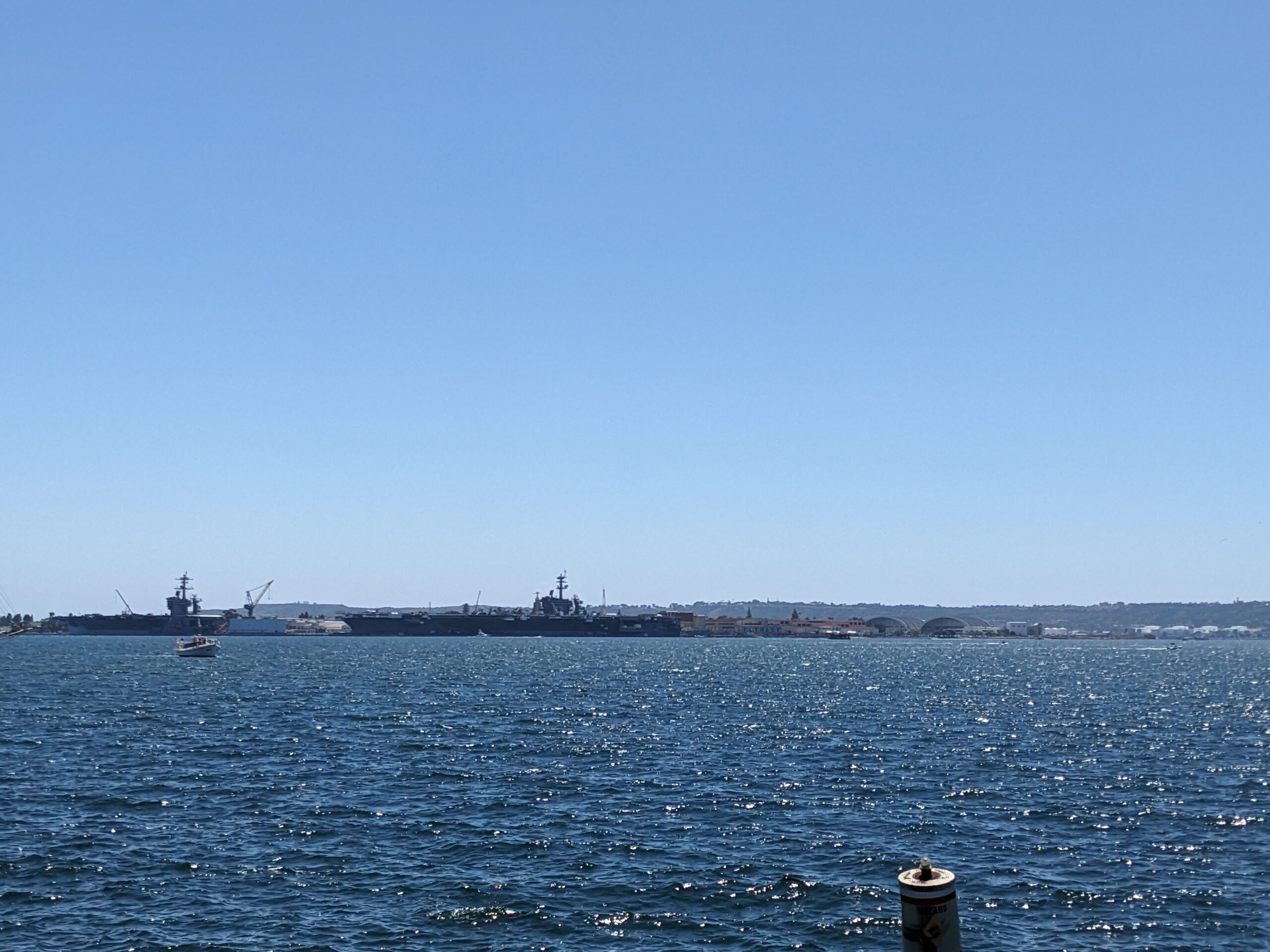
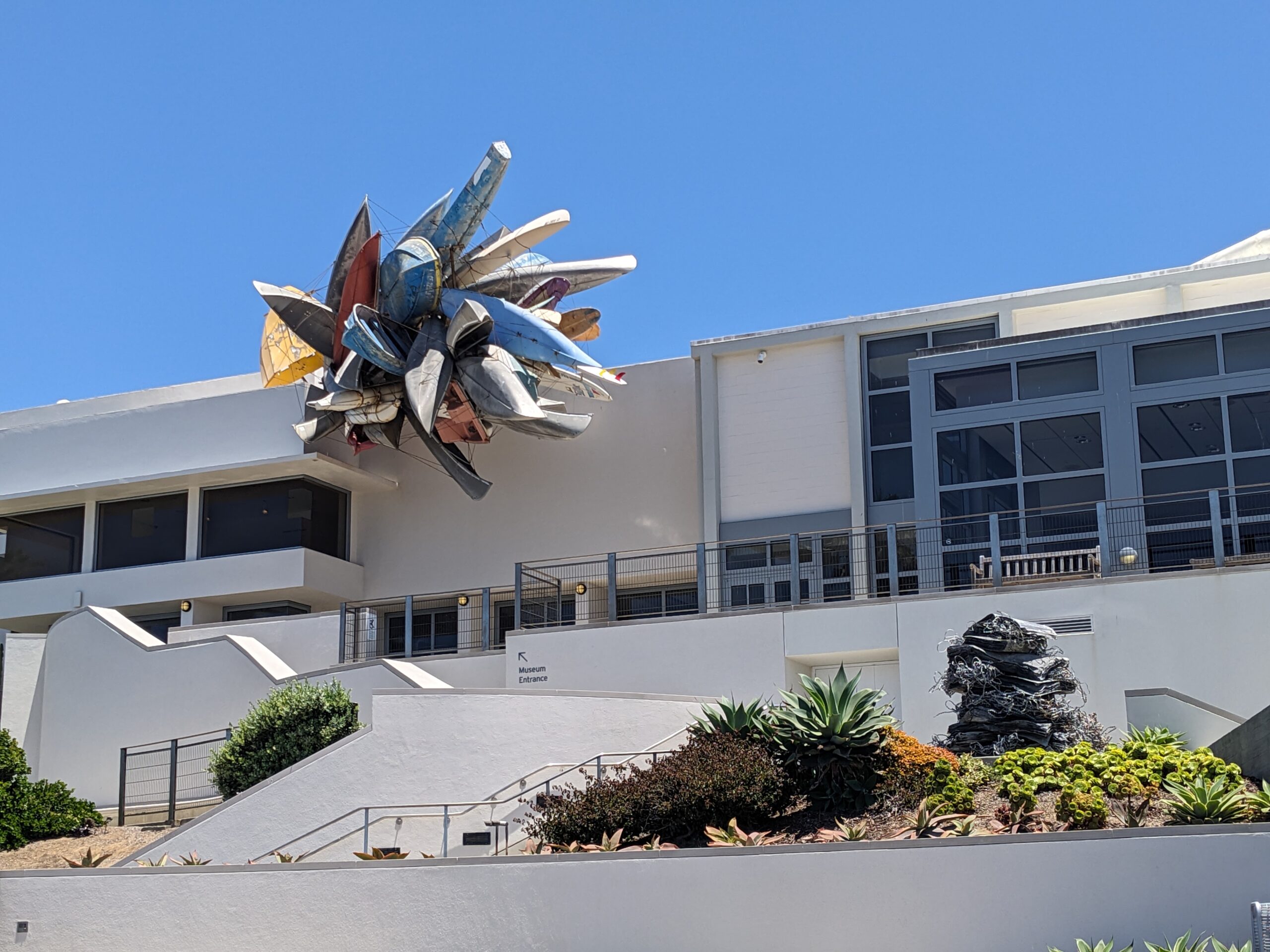
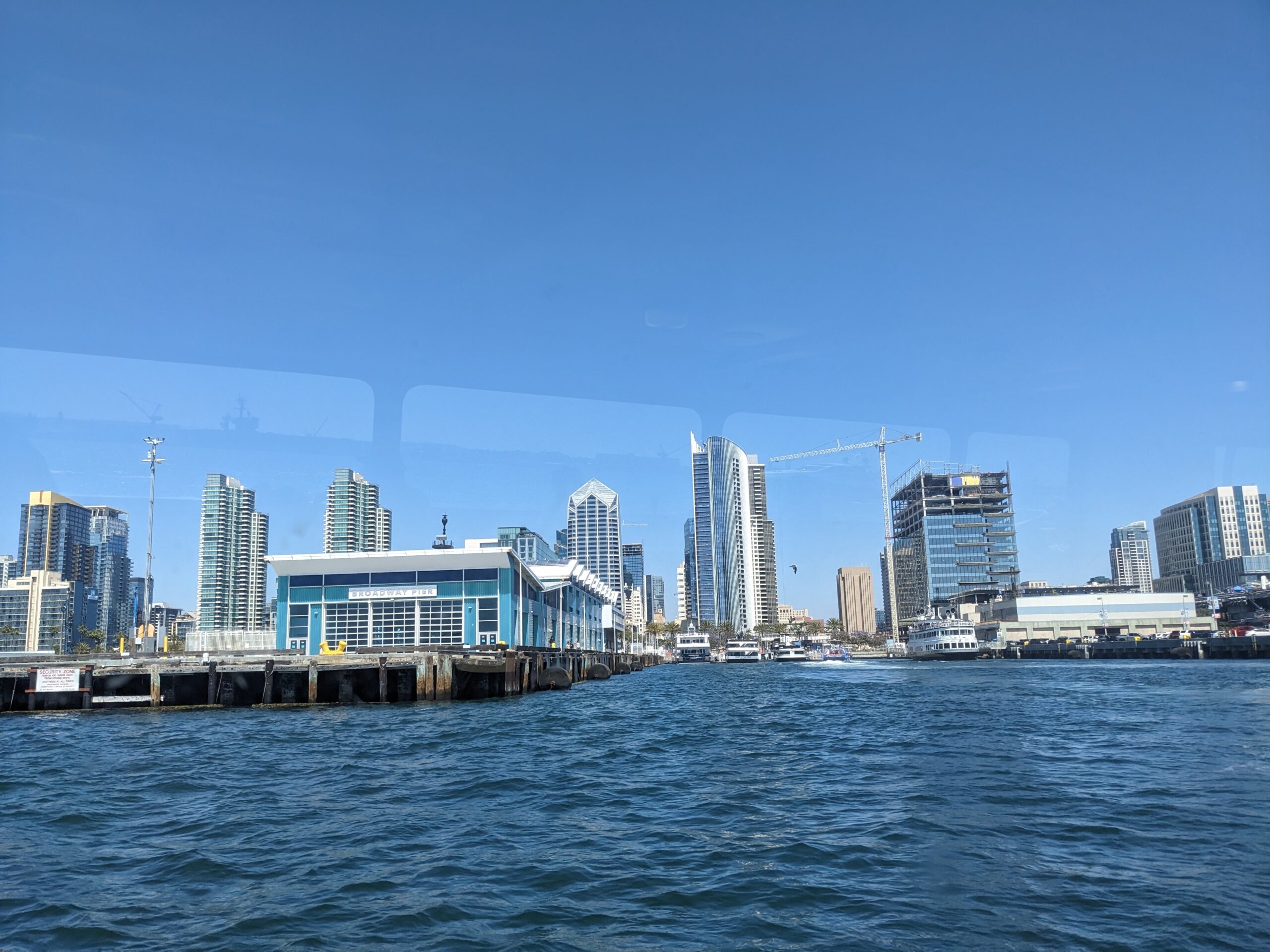
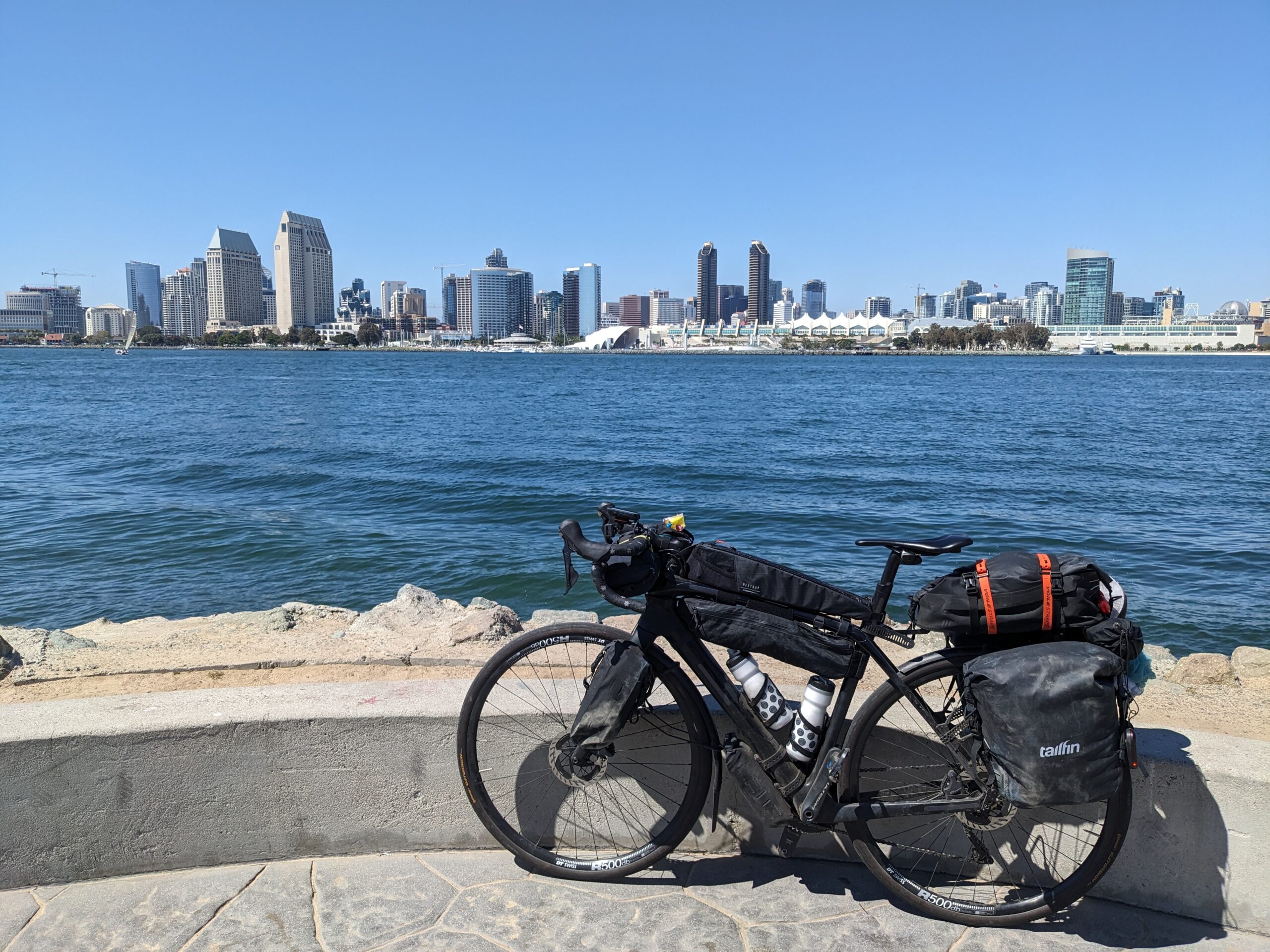
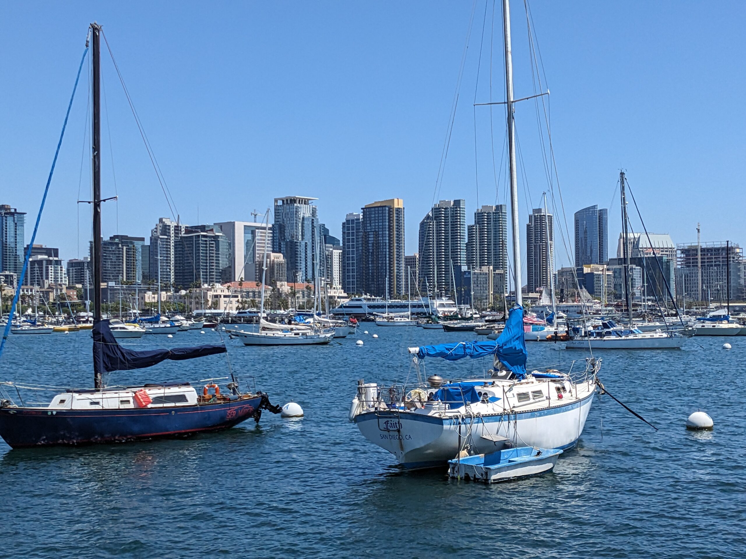
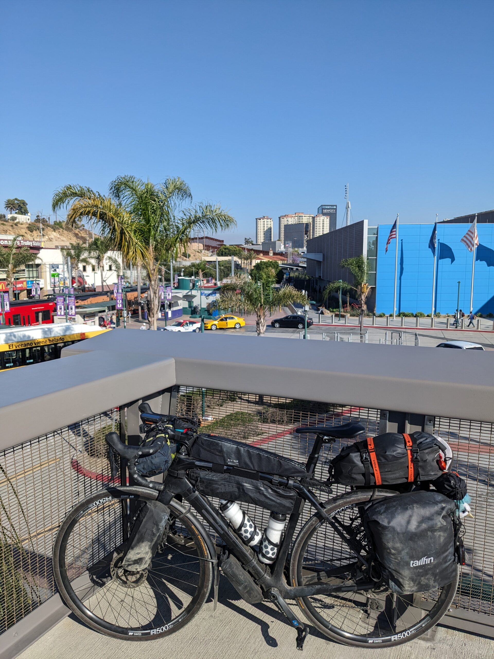
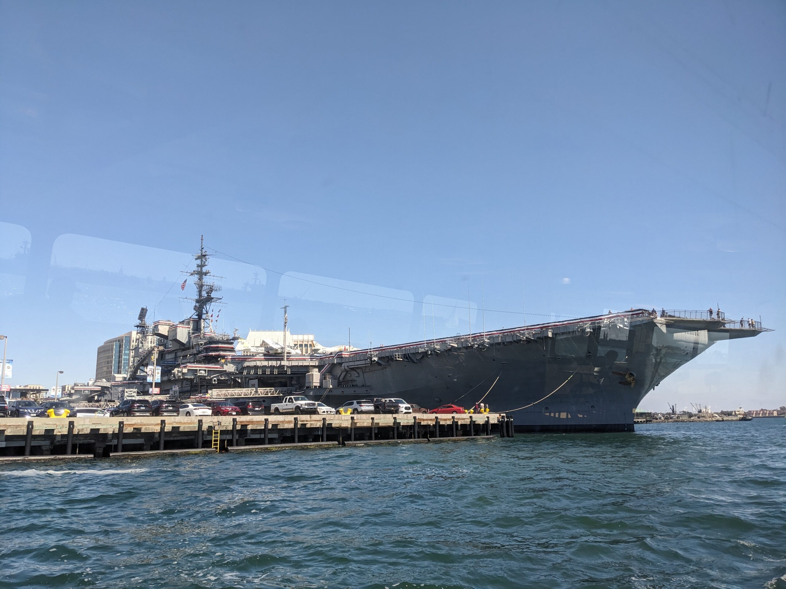
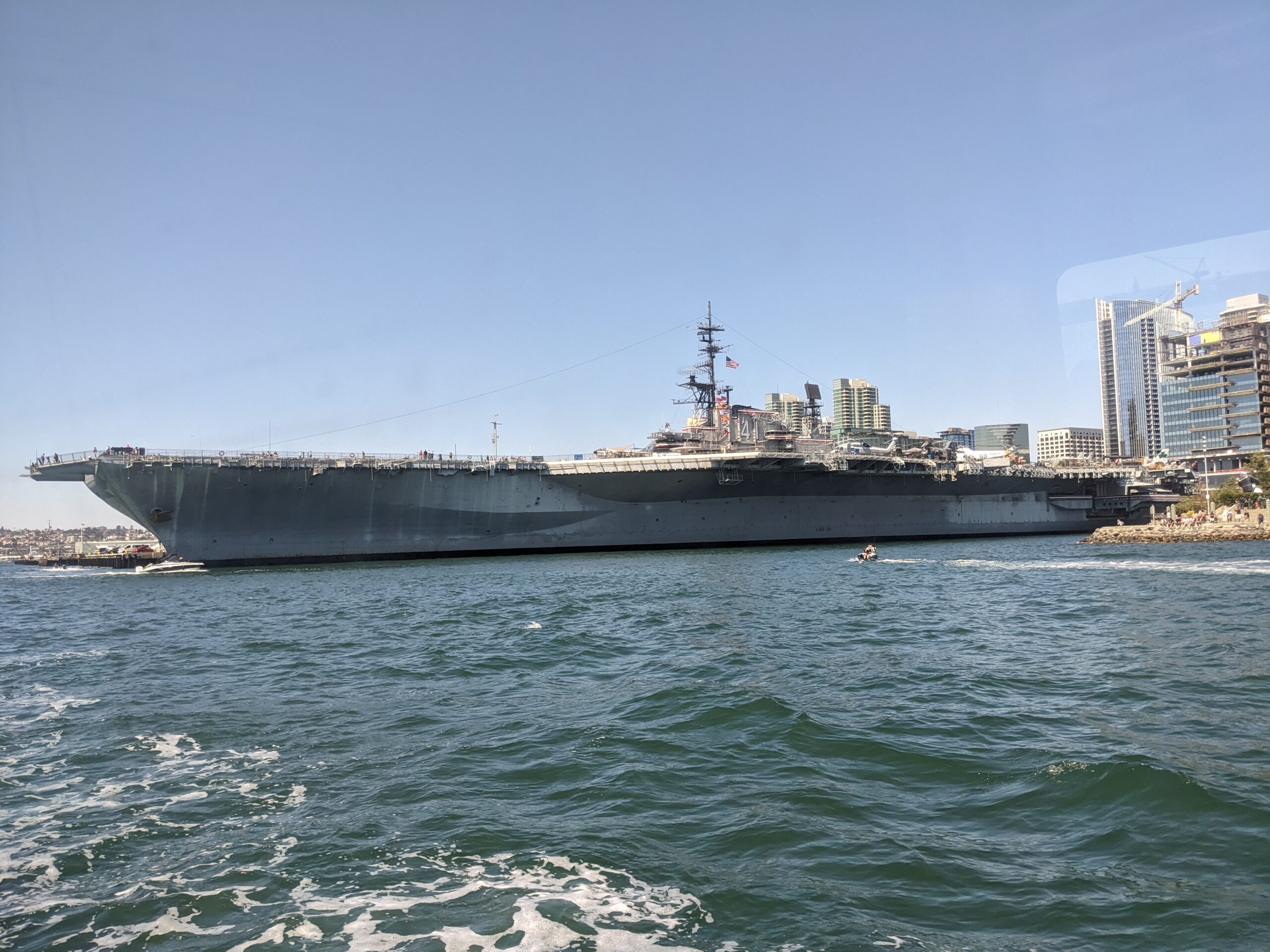
From here on out it was mostly just riding along the coast. Passed by the Museum of Contemporary Art San Diego which had a cool piece on display on its exterior. Approaching downtown San Diego I could see Naval Air Station North Island with several ships in port. Then spotted several cool ships on display at the Maritime Museum of San Diego. I boarded the ferry to Coronado and got a great view of the USS Midway.
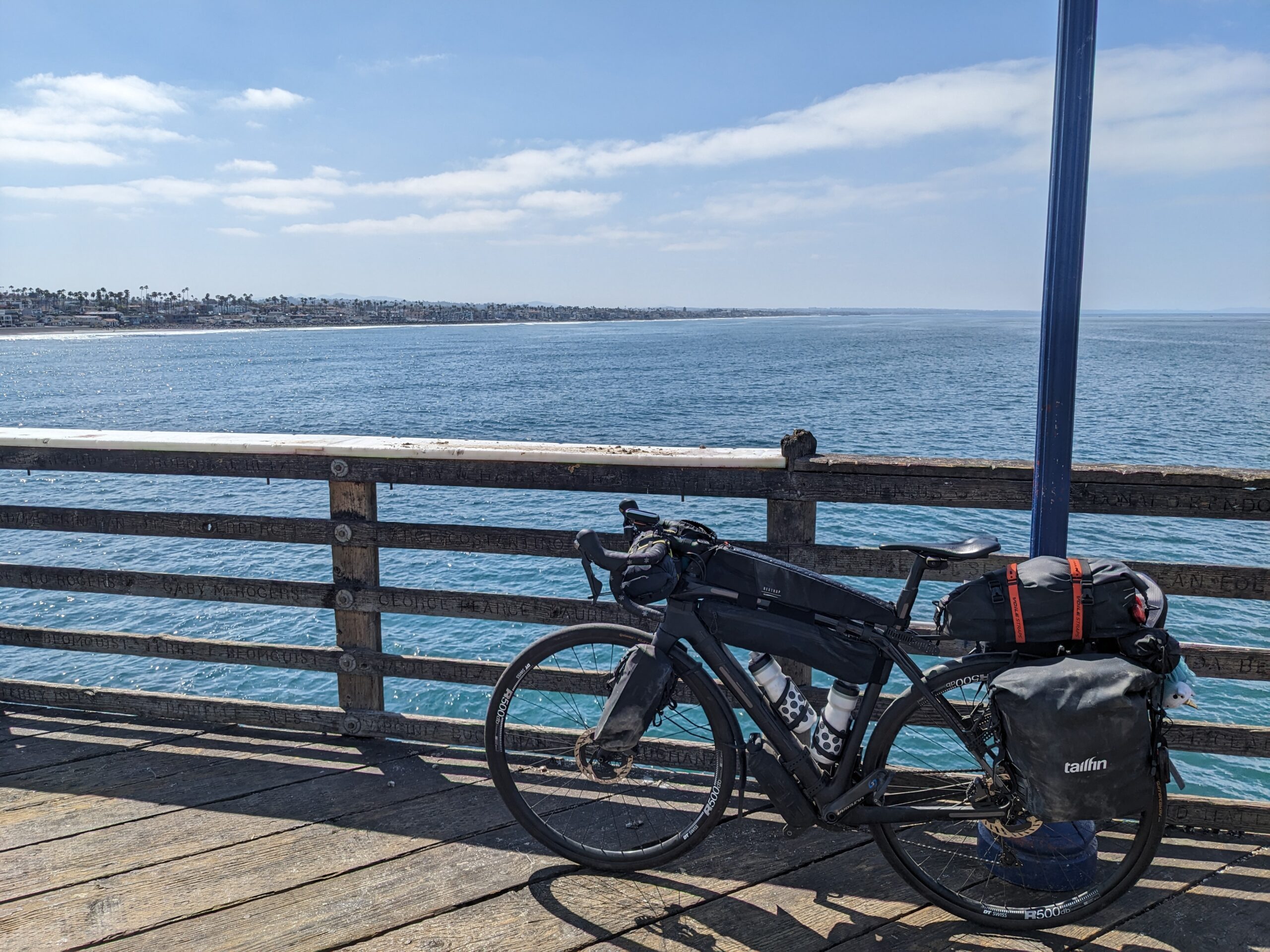
I made my way south to Imperial Beach via the Bayshore Bikeway. The bikeway is pretty much a dedicated path between Coronado and Imperial Beach. I’m sure I could have rode along CA-75, the highway, but this kept me separated from traffic. At one point these three riders came and one had a slight lead. I joked with the second and third rider, “You going to let him open a gap like that?”
So he charges off and I figure what the hell and start hauling off to follow him. Pretty soon the three of us, the fourth fell off, were cruising. As we all died we started chatting about my ride and having a nice visit. At the end of the trail there was a local bike shop and the three of them stopped. I joked, “Hey make sure your flybys are turned on in Strava, because we know if it ain’t on Strava it didn’t happen!”
I pulled up to the next light and two of the three cyclists rolled up! We started chatting again and it just happened that their ride back to their place shared my ride to camp. The three of us rode together until the two of them had to finally turn off to head home.
I continued south to Friendship Park which is the end of the ACA route. As I rolled up I was bummed to see it in complete disrepair. Definitely put a damper on the end of the day.
I started back east to head to my camp at Tijuana River Valley Campground. I got checked in real quick and then rode east to get a couple more pictures of the border before hunting down some dinner. There were several places, including sit down joints, to choose from but I settled on Subway because it was quick and easy to carry. I threw it in my messenger bag and rode it back to camp.
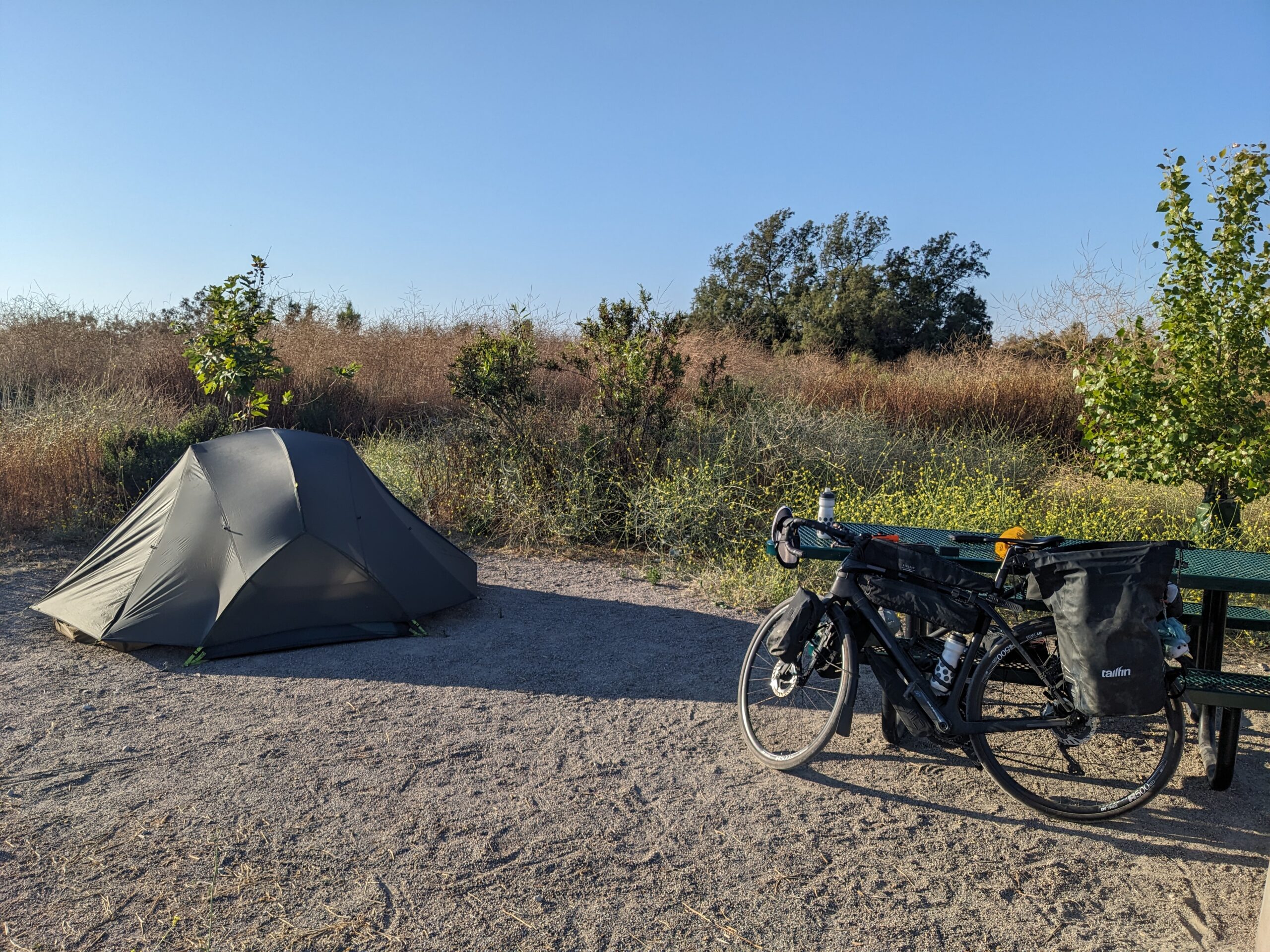
Camp came together pretty quickly. I decided to skip cleaning my kit because I knew hotelling it from here out. On top of that it was getting late and I just didn’t feel like fussing with it.
That pretty much wraps up the day. Another century despite not planning on one from the start. Now I turn my wheels and attention northward to start the trek home.
New bike fund: $11.51 (+$0.00)
96.21 new miles
🏘 Completed 25% of Camp Pendleton South
🏘 Completed 25% of Torrey Pines State Natural Reserve
— From Wandrer.earth
Mostly sunny-Sunny, 62°F-68°F, Feels like 65°F-69°F, Humidity 83%-65%, Wind ESE 2mph-WNW 10mph – by Klimat.app
— myWindsock Report —
Weather Impact: 1.7%
Headwind: 55% @ 1.3-4.7mph
Longest Headwind: 01h 55m 13s
Air Speed: 12.9mph
Temp: 61.8-71.7°F
Precip: 0% @ 0 Inch/hr
— END —


Max elevation: 453 ft
Min elevation: 15 ft
Total climbing: 3621 ft
Total descent: -3566 ft
Total time: 11:34:49
Be First to Comment